Old Maps of La Barge, Wyoming for Academic Research
Study the evolution of La Barge with 9 high-resolution historic maps. Whether you're teaching, researching, or modeling changes in land use, these maps provide essential visual documentation of urban, environmental, and geographic change.
- Analyze long-term change: Track patterns in development, transportation, and natural features.
- Ideal for environmental or urban studies: Support academic projects with primary historical map data.
- Use in the classroom or lab: Educators and researchers rely on these maps to bring historical context to life.
These maps are a powerful tool for teaching, research, and visualizing how La Barge has changed over the decades.
La Barge, WY maps
(9)- 1955 Map of Preston, 1968 Print
 1955 Preston1968 Print · USGSSoutheast Idaho and western Wyoming are shown in detail during the mid-fifties, from the high Bear River Range to the Green River Basin. Genealogists and collectors can trace the Union Pacific RR through historic towns like Preston, Montpelier, and Afton.3 unique versions available
 - 1958 Map of Preston
 1958 Preston1958 Print · USGSThe high valleys of the Idaho and Wyoming borderlands are captured here in the late fifties, showcasing a landscape of mountain ranching and phosphate mining. Genealogists and historians can locate early settlements like Chesterfield and Bedford or trace the Union Pacific rail lines serving Cokeville.2 unique versions available
 - 1962 Map of Preston
 1962 Preston1962 Print · USGSSoutheast Idaho and the Wyoming borderlands are captured here in the early sixties, a time of thriving agricultural valleys and mountain ranching. Researchers can trace the Union Pacific rail lines and find legacy settlements like Montpelier, Afton, and Preston.
 - 1969 Map of La Barge, 1973 Print
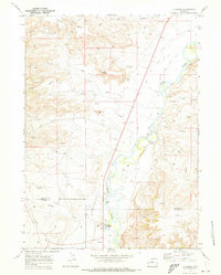 1969 La Barge1973 Print · USGSThe Green River valley at the turn of the 1970s shows a landscape transformed by oil and gas exploration. Genealogists and historians can trace industrial footprints like La Barge Landing Area alongside landmarks like Whelan Bridge and La Barge.3 unique versions available
 - 1982 Map of Fontenelle Reservoir
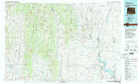 1982 Fontenelle Reservoir1982 Print · USGSWestern Wyoming's high country is captured here during the early eighties, showing the intersection of historic pioneer routes and modern water management. Genealogists and historians can trace the Emigrant Trail, Sublette Cutoff, and old sites like Rainbow Camp.2 unique versions available
 - 2012 Map of La Barge, 2012 Print
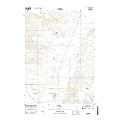
 2012 La Barge2012 Print · USGSCovers La Barge, including Lincoln County, Sublette County, and other nearby areas
 - 2015 Map of La Barge, 2015 Print
 2015 La Barge2015 Print · USGSCovers La Barge, including Lincoln County, Sublette County, and other nearby areas
 - 2017 Map of La Barge, 2017 Print
 2017 La Barge2017 Print · USGSCovers La Barge, including Lincoln County, Sublette County, and other nearby areas
 - 2021 Map of La Barge, 2021 Print
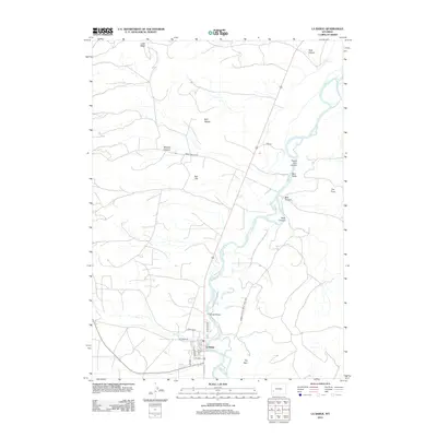
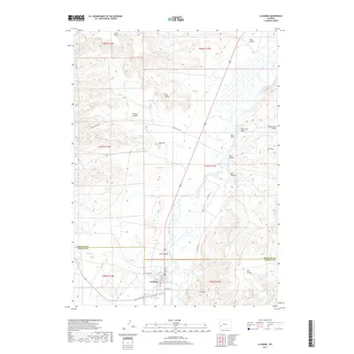
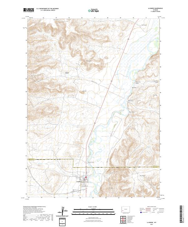 2021 La Barge2021 Print · USGSLa Barge and the Green River valley appear here in the early twenty-first century, showing a landscape defined by irrigation and energy. Researchers can trace the local street grid near W 6th Ave or follow the water through Whelan Bridge and the Green River Island Ditch.
End of results
Showing maps 1-9 of 9
Frequently asked questions
- What are the different types of historical maps available for La Barge?
- What is the oldest map of La Barge?
- Where can I purchase historical maps of La Barge for my home or office?
- Where can I download high-res historical maps of La Barge?
- Are there historical topographic maps available for La Barge?
- Is there historical aerial imagery available for La Barge?
- Where are historical maps of La Barge sourced from?