Old Maps of Thayne, Wyoming for Genealogy
Trace your family roots with 17 historic maps of Thayne. These high-res maps reveal old neighborhoods, homesites, landmarks, and streets — helping you uncover where your ancestors lived and how the area evolved over time.
- Explore historic neighborhoods: Identify where your relatives may have lived in the 1800s or 1900s.
- Compare maps over time: Trace the changes in streets, buildings, and landmarks for multi-generational research.
- Perfect for genealogy & ancestry research: Used by family historians and researchers to map out lineage and migration.
These maps are an incredible resource for exploring your personal connection to Thayne's past.
Thayne, WY maps
(17)- 1915 Map of Freedom
 1915 Freedom1915 Print · USGSThe Idaho-Wyoming border comes alive in this survey of the high mountain ranges and irrigated valleys during the early twentieth century. Researchers can trace the path of the Lander Cutoff and locate early community landmarks like the Freedom School or the Old Salt Works.3 unique versions available
 - 1921 Map of Afton
 1921 Afton1921 Print · USGSStar Valley and the high Wyoming backcountry are captured here in the early twenties, showing the region's early ranching and forestry roots. Researchers can locate early schools like Muddy String School, isolated outposts like Moffat Ranch, and forest service sites including Corral Creek Ranger Sta.
 - 1955 Map of Preston, 1968 Print
 1955 Preston1968 Print · USGSSoutheast Idaho and western Wyoming are shown in detail during the mid-fifties, from the high Bear River Range to the Green River Basin. Genealogists and collectors can trace the Union Pacific RR through historic towns like Preston, Montpelier, and Afton.3 unique versions available
 - 1958 Map of Preston
 1958 Preston1958 Print · USGSThe high valleys of the Idaho and Wyoming borderlands are captured here in the late fifties, showcasing a landscape of mountain ranching and phosphate mining. Genealogists and historians can locate early settlements like Chesterfield and Bedford or trace the Union Pacific rail lines serving Cokeville.2 unique versions available
 - 1962 Map of Preston
 1962 Preston1962 Print · USGSSoutheast Idaho and the Wyoming borderlands are captured here in the early sixties, a time of thriving agricultural valleys and mountain ranching. Researchers can trace the Union Pacific rail lines and find legacy settlements like Montpelier, Afton, and Preston.
 - 1980 Map of Thayne West
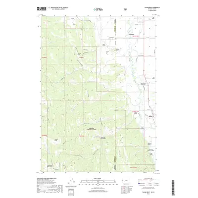
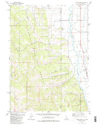 1980 Thayne West1980 Print · USGSThe Star Valley region on the Idaho-Wyoming border thrived as a high-altitude agricultural hub in the early 1980s. Researchers can trace historical irrigation networks like Baker Ditch and locate local landmarks such as Haderlie Knoll and the Cem in Freedom.3 unique versions available
 - 1980 Map of Thayne East, 1981 Print
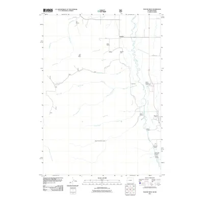
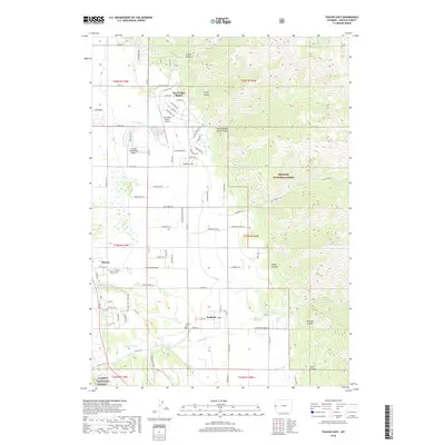
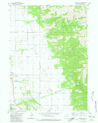 1980 Thayne East1981 Print · USGSStar Valley ranching and irrigation are captured here in the early 1980s as the communities of Thayne and Bedford grew along the Salt River. Researchers can trace local landmarks like the Bedford Cem, Holdaway Sch, and the network of water-moving systems like the Hardman Ditch.
 - 1982 Map of Afton
 1982 Afton1982 Print · USGSWestern Wyoming during the early eighties shows a landscape of mountain ranges and valley settlements. Genealogists can trace family names and small towns across Star Valley, while historians can locate the path of the Lander Cutoff and the Cottonwood Mine.
 - 1982 Map of Soda Springs
 1982 Soda Springs1982 Print · USGSSoutheast Idaho and the Wyoming borderlands come alive in the early eighties as a landscape of mountain ranges and industrial valleys. Genealogists and historians can locate remote family plots like Lund Cem or trace the early paths through Fivemile Meadows and the Fort Hall Indian Reservation.2 unique versions available
 - 2011 Map of Thayne West, 2011 Print
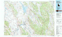
 2011 Thayne West2011 Print · USGSCovers Thayne, including Freedom, Lincoln County, and other nearby areas
 - 2012 Map of Thayne East, 2012 Print
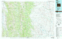
 2012 Thayne East2012 Print · USGSCovers Thayne, including Star Valley Ranch, Bedford, and other nearby areas
 - 2015 Map of Thayne West, 2015 Print
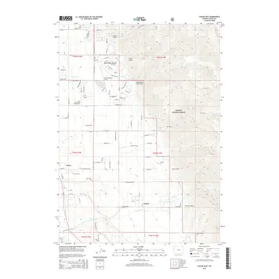
 2015 Thayne West2015 Print · USGSCovers Thayne, including Freedom, Lincoln County, and other nearby areas
 - 2015 Map of Thayne East, 2015 Print
 2015 Thayne East2015 Print · USGSCovers Thayne, including Star Valley Ranch, Bedford, and other nearby areas
 - 2018 Map of Thayne West, 2018 Print
 2018 Thayne West2018 Print · USGSCovers Thayne, including Freedom, Lincoln County, and other nearby areas
 - 2018 Map of Thayne East, 2018 Print
 2018 Thayne East2018 Print · USGSCovers Thayne, including Star Valley Ranch, Bedford, and other nearby areas
 - 2021 Map of Thayne West, 2021 Print
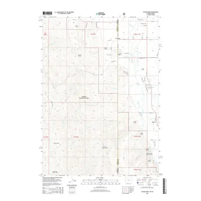
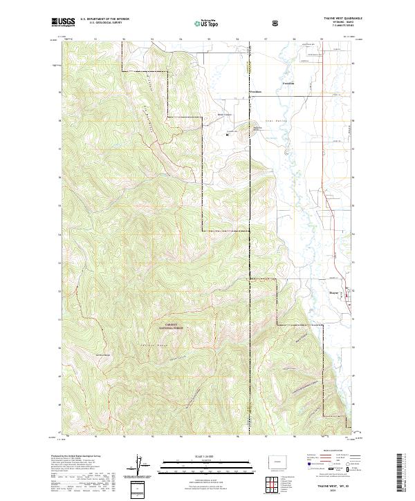 2021 Thayne West2021 Print · USGSFreedom and Star Valley sit at the edge of the Wyoming-Idaho border in this modern survey of the high mountain west. Genealogists and local historians can trace family locations near Freedom Cem and the drainages of Log Canyon and Beard Canyon.
 - 2021 Map of Thayne East, 2021 Print
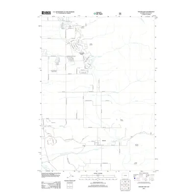
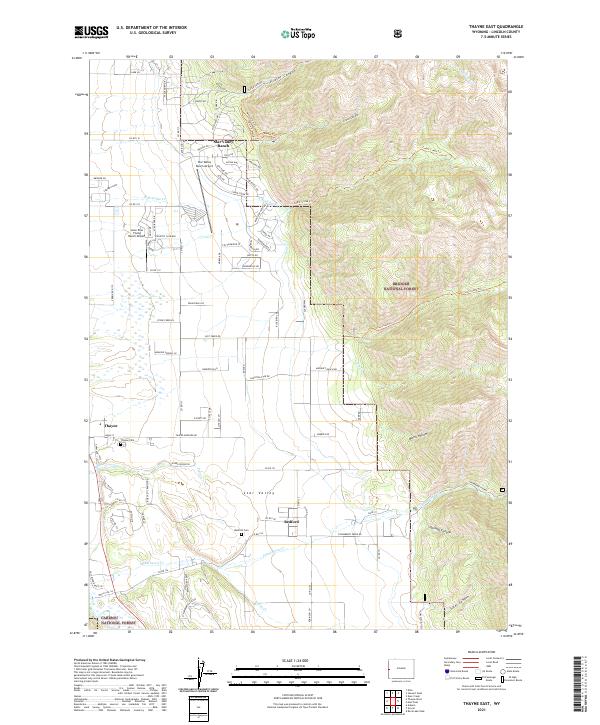 2021 Thayne East2021 Print · USGSLincoln County’s Star Valley and the Bridger National Forest foothills come to life in this detailed recent survey. Genealogists and local historians can trace family locations near Bedford, Thayne, and the Thayne Cem, or locate the Lone Pine Flying Ranch Airport.
End of results
Showing maps 1-17 of 17
Top cities near Thayne
Frequently asked questions
- What are the different types of historical maps available for Thayne?
- What is the oldest map of Thayne?
- Where can I purchase historical maps of Thayne for my home or office?
- Where can I download high-res historical maps of Thayne?
- Are there historical topographic maps available for Thayne?
- Is there historical aerial imagery available for Thayne?
- Where are historical maps of Thayne sourced from?