2000s (21st Century) Maps of Pinedale, Wyoming
Explore 16 historic maps of Pinedale from the 2000s (21st Century). These maps offer a rare glimpse into what life looked like during the 2000s — showing old roads, neighborhoods, homes, and landmarks that have changed or disappeared over time.
Whether you're researching your family's past, planning a metal detecting trip, or studying how Pinedale's landscape evolved across the 2000s, these high-resolution maps are a powerful tool for exploring the history of this region.
- Focus on a specific era: All maps on this page are from the 2000s, giving you a focused view of this time period.
- See what’s changed: Compare century-old streets, trails, and buildings to today's modern landscape using overlays and satellite layers.
- Research with precision: Use these maps for genealogy, historical research, land use analysis, or educational projects.
- View, download, or print: Maps are fully viewable online in high resolution, and can be downloaded or printed for your own records.
Start exploring Pinedale's history through authentic maps from the 2000s. This is your window into the past.
Pinedale, WY maps
(16)- 2012 Map of Cora, 2012 Print
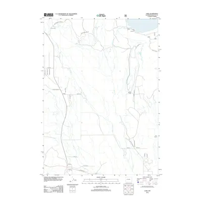 2012 Cora2012 Print · USGSCovers Pinedale, including Cora, Sublette County, and other nearby areas
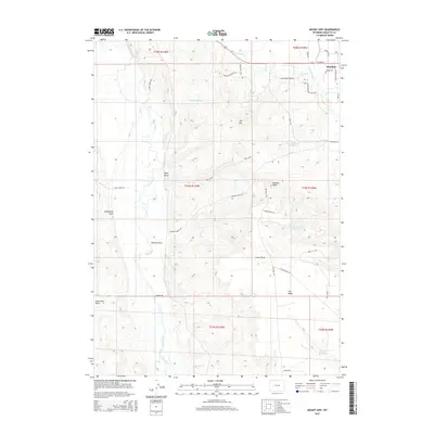
 - 2012 Map of Mount Airy, 2012 Print
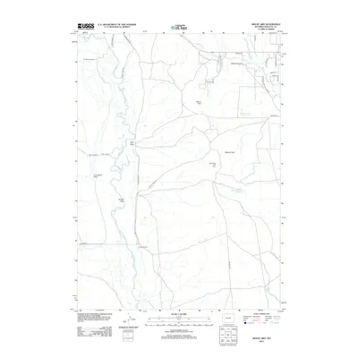 2012 Mount Airy2012 Print · USGSCovers Pinedale, including Sublette County, United States, and other nearby areas
 - 2012 Map of Pinedale, 2012 Print
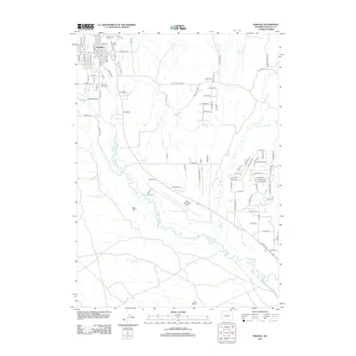 2012 Pinedale2012 Print · USGSCovers Pinedale, including Sublette County, United States, and other nearby areas
 - 2012 Map of Fremont Lake South, 2012 Print
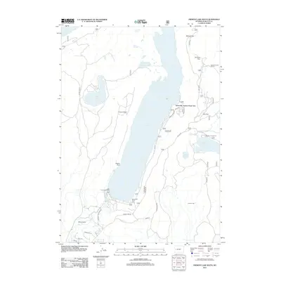 2012 Fremont Lake South2012 Print · USGSCovers Pinedale, including Sylvan Bay Summer Home Area, Sublette County, and other nearby areas
 - 2015 Map of Pinedale, 2015 Print
 2015 Pinedale2015 Print · USGSCovers Pinedale, including Sublette County, United States, and other nearby areas
 - 2015 Map of Mount Airy, 2015 Print
 2015 Mount Airy2015 Print · USGSCovers Pinedale, including Sublette County, United States, and other nearby areas
 - 2015 Map of Cora, 2015 Print
 2015 Cora2015 Print · USGSCovers Pinedale, including Cora, Sublette County, and other nearby areas
 - 2015 Map of Fremont Lake South, 2015 Print
 2015 Fremont Lake South2015 Print · USGSCovers Pinedale, including Sylvan Bay Summer Home Area, Sublette County, and other nearby areas
 - 2017 Map of Cora, 2017 Print
 2017 Cora2017 Print · USGSCovers Pinedale, including Cora, Sublette County, and other nearby areas
 - 2017 Map of Mount Airy, 2017 Print
 2017 Mount Airy2017 Print · USGSCovers Pinedale, including Sublette County, United States, and other nearby areas
 - 2017 Map of Fremont Lake South, 2017 Print
 2017 Fremont Lake South2017 Print · USGSCovers Pinedale, including Sylvan Bay Summer Home Area, Sublette County, and other nearby areas
 - 2017 Map of Pinedale, 2017 Print
 2017 Pinedale2017 Print · USGSCovers Pinedale, including Sublette County, United States, and other nearby areas
 - 2021 Map of Cora, 2021 Print
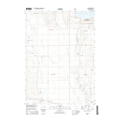
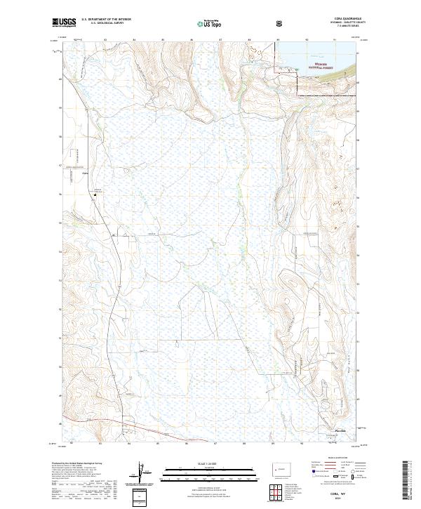 2021 Cora2021 Print · USGSSublette County ranching and wilderness come together in this 2021 study of the upper Green River valley. Researchers can trace irrigation history through the Highline Ditch network or locate family roots at Westfall - Cora Cem and Cora.
 - 2021 Map of Fremont Lake South, 2021 Print
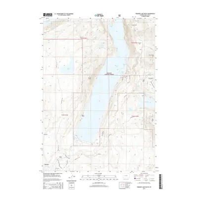
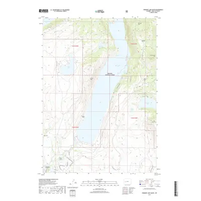
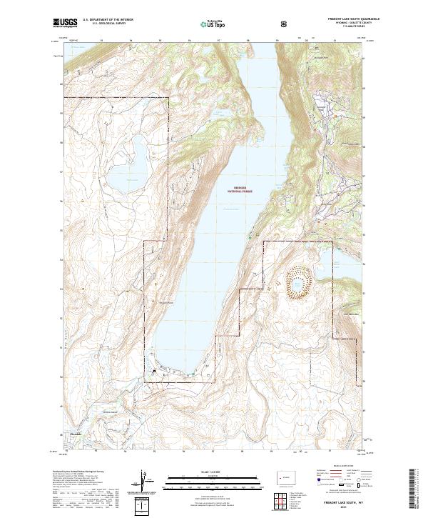 2021 Fremont Lake South2021 Print · USGSThe Sublette County high country near Pinedale is documented here as it appeared in recent years, centered on the expansive waters of Fremont Lake. Researchers can trace the local water infrastructure via the Fremont Ditch or explore the trail networks winding through Surveyor Park and the slopes of Fortification Mtn.
 - 2021 Map of Mount Airy, 2021 Print
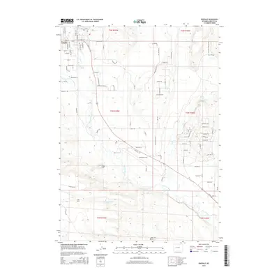
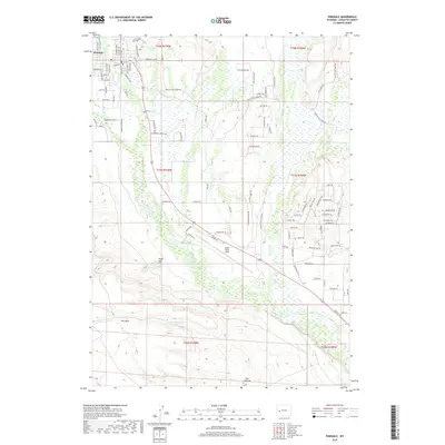
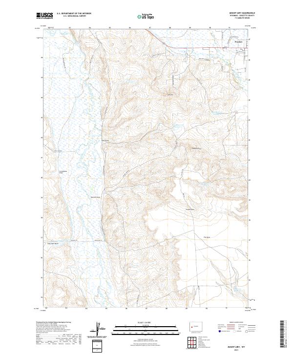 2021 Mount Airy2021 Print · USGSUpper Green River country in Sublette County comes into focus here, showing the highlands of The Mesa and the outskirts of Pinedale. Researchers can trace the region's ranching heritage through irrigation systems like Soap Hole Ditch and family-named routes such as Harry Steele Rd.
 - 2021 Map of Pinedale, 2021 Print
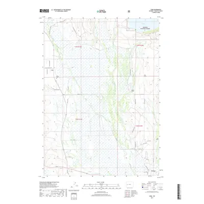
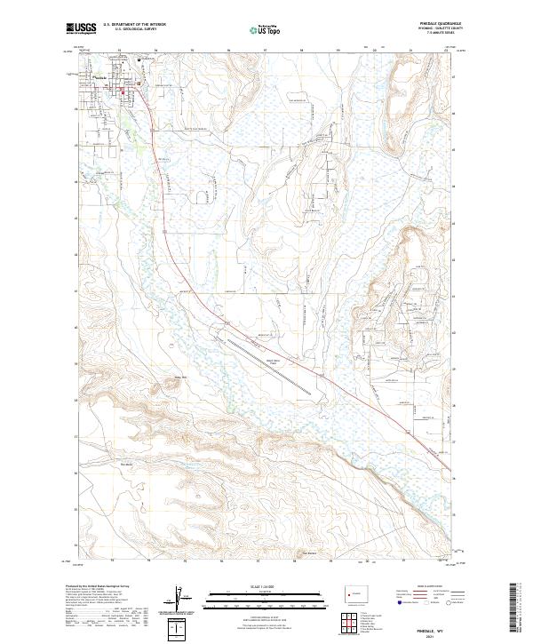 2021 Pinedale2021 Print · USGSThe high-desert ranching landscape of Sublette County is captured here in the early twenty-first century. Genealogists and historians can trace the town's growth from Pinedale Cem to civic landmarks like the Sublette County Courthouse and Ralph Wenz Field.
End of results
Showing maps 1-16 of 16
Frequently asked questions
- What are the different types of historical maps available for Pinedale?
- What is the oldest map of Pinedale?
- Where can I purchase historical maps of Pinedale for my home or office?
- Where can I download high-res historical maps of Pinedale?
- Are there historical topographic maps available for Pinedale?
- Is there historical aerial imagery available for Pinedale?
- Where are historical maps of Pinedale sourced from?