Old Maps of Pinedale, Wyoming for Academic Research
Study the evolution of Pinedale with 24 high-resolution historic maps. Whether you're teaching, researching, or modeling changes in land use, these maps provide essential visual documentation of urban, environmental, and geographic change.
- Analyze long-term change: Track patterns in development, transportation, and natural features.
- Ideal for environmental or urban studies: Support academic projects with primary historical map data.
- Use in the classroom or lab: Educators and researchers rely on these maps to bring historical context to life.
These maps are a powerful tool for teaching, research, and visualizing how Pinedale has changed over the decades.
Pinedale, WY maps
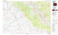
(24)- 1955 Map of Lander, 1976 Print
 1955 Lander1976 Print · USGSMid-century central Wyoming is captured here as a landscape of high alpine wilderness and burgeoning energy development. Genealogists and historians can trace the path of the Oregon Trail or locate early industrial sites like the Big Sand Draw Oil and Gas Field and the State Training School.2 unique versions available
 - 1958 Map of Lander
 1958 Lander1958 Print · USGSThe high peaks of the Wind River Range meet the Great Divide Basin in the 1950s. Researchers can trace historic migrations past the Oregon Trail Monument or locate early energy infrastructure at the Beaver Creek Gas and Oil Field and the Oregon Trail Oil Field.
 - 1961 Map of Lander
 1961 Lander1961 Print · USGSThe high peaks and desert basins of central Wyoming appear here in the early sixties, showing the landscape of the Shoshone Indian Reservation and the Wind River Range. Researchers can trace the path of the Oregon Trail and locate early settlements like Lander and the mining remains at South Pass City.2 unique versions available
 - 1964 Map of Mount Airy, 1968 Print
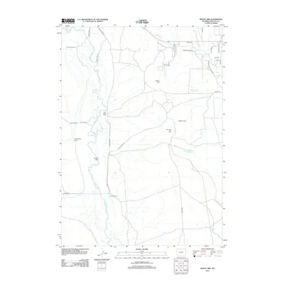
 1964 Mount Airy1968 Print · USGSSublette County ranching and water management are frozen in time during the mid-sixties, where the braided Green River meets the high plateau. Researchers can trace the heritage of established operations like Sommers Ranch and Grubbing Hoe Ranch alongside early energy markers like Gas Wells.2 unique versions available
 - 1964 Map of Cora, 1968 Print
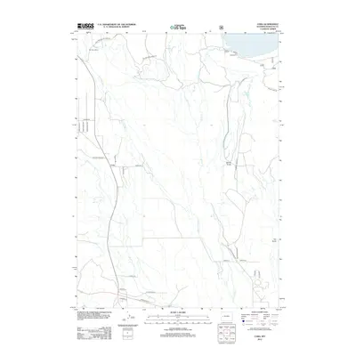
 1964 Cora1968 Print · USGSUpper Green River Valley ranching and early frontier history are preserved here in the mid-1960s. Genealogists and historians can locate legacy holdings like Bar Cross Ranch, the Indian Graves, and the Trappers Point Historical Monument.2 unique versions available
 - 1964 Map of Pinedale, 1968 Print
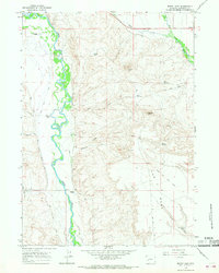
 1964 Pinedale1968 Print · USGSPinedale and the surrounding Sublette County cattle country appear in the mid-1960s as a landscape defined by irrigation and high-altitude ranching. Genealogists and historians can locate the Plainview Cem, High Sch, and the winding paths of the New Fork River and Pole Creek.3 unique versions available
 - 1964 Map of Fremont Lake South, 1978 Print
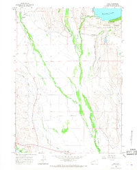
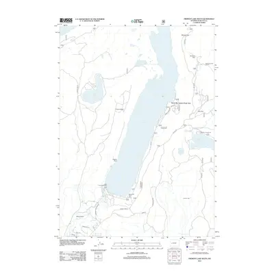
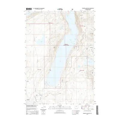
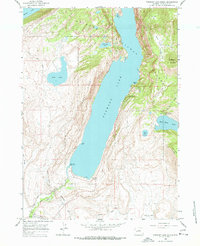 1964 Fremont Lake South1978 Print · USGSNear the town of Pinedale in the 1960s, this area shows the early development of mountain recreation and irrigation. You can trace the historic Skyline Drive and locate mid-century sites like the Winter Sports Area, Ski Lift, and the Sandy Beach Picnic Area.3 unique versions available
 - 1981 Map of Pinedale, 1982 Print
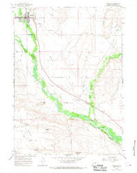
 1981 Pinedale1982 Print · USGSThe Wind River foothills meet the Wyoming high desert in the early eighties, where cattle ranching and wilderness preservation coexist. Genealogists and historians can trace the historic Oregon Trail or locate family sites near Pinedale, Boulder, and the Wind River Indian Reservation.3 unique versions available
 - 2012 Map of Cora, 2012 Print
 2012 Cora2012 Print · USGSCovers Pinedale, including Cora, Sublette County, and other nearby areas
 - 2012 Map of Mount Airy, 2012 Print
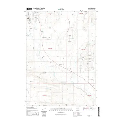
 2012 Mount Airy2012 Print · USGSCovers Pinedale, including Sublette County, United States, and other nearby areas
 - 2012 Map of Pinedale, 2012 Print
 2012 Pinedale2012 Print · USGSCovers Pinedale, including Sublette County, United States, and other nearby areas
 - 2012 Map of Fremont Lake South, 2012 Print
 2012 Fremont Lake South2012 Print · USGSCovers Pinedale, including Sylvan Bay Summer Home Area, Sublette County, and other nearby areas
 - 2015 Map of Pinedale, 2015 Print
 2015 Pinedale2015 Print · USGSCovers Pinedale, including Sublette County, United States, and other nearby areas
 - 2015 Map of Mount Airy, 2015 Print
 2015 Mount Airy2015 Print · USGSCovers Pinedale, including Sublette County, United States, and other nearby areas
 - 2015 Map of Cora, 2015 Print
 2015 Cora2015 Print · USGSCovers Pinedale, including Cora, Sublette County, and other nearby areas
 - 2015 Map of Fremont Lake South, 2015 Print
 2015 Fremont Lake South2015 Print · USGSCovers Pinedale, including Sylvan Bay Summer Home Area, Sublette County, and other nearby areas
 - 2017 Map of Cora, 2017 Print
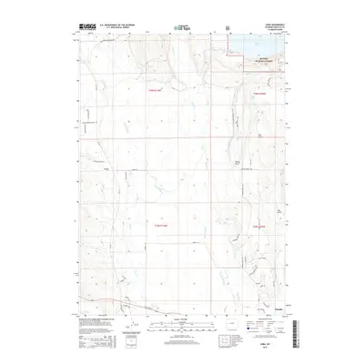
 2017 Cora2017 Print · USGSCovers Pinedale, including Cora, Sublette County, and other nearby areas
 - 2017 Map of Mount Airy, 2017 Print
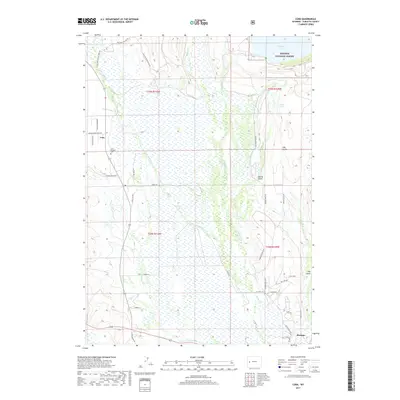
 2017 Mount Airy2017 Print · USGSCovers Pinedale, including Sublette County, United States, and other nearby areas
 - 2017 Map of Fremont Lake South, 2017 Print
 2017 Fremont Lake South2017 Print · USGSCovers Pinedale, including Sylvan Bay Summer Home Area, Sublette County, and other nearby areas
 - 2017 Map of Pinedale, 2017 Print
 2017 Pinedale2017 Print · USGSCovers Pinedale, including Sublette County, United States, and other nearby areas
 - 2021 Map of Cora, 2021 Print
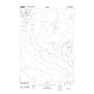
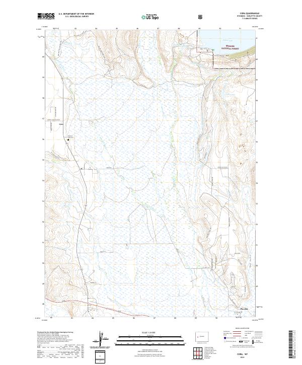 2021 Cora2021 Print · USGSSublette County ranching and wilderness come together in this 2021 study of the upper Green River valley. Researchers can trace irrigation history through the Highline Ditch network or locate family roots at Westfall - Cora Cem and Cora.
 - 2021 Map of Fremont Lake South, 2021 Print
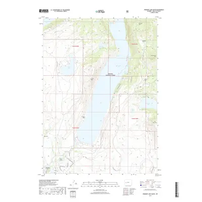
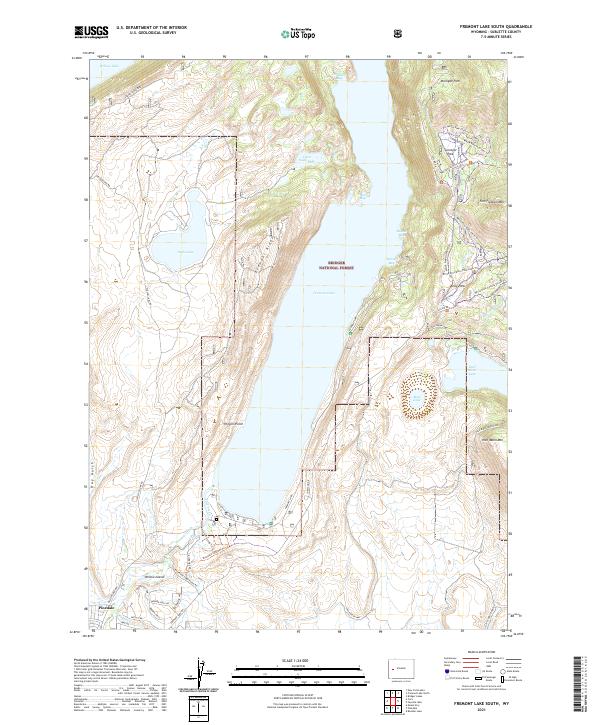 2021 Fremont Lake South2021 Print · USGSThe Sublette County high country near Pinedale is documented here as it appeared in recent years, centered on the expansive waters of Fremont Lake. Researchers can trace the local water infrastructure via the Fremont Ditch or explore the trail networks winding through Surveyor Park and the slopes of Fortification Mtn.
 - 2021 Map of Mount Airy, 2021 Print
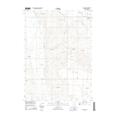
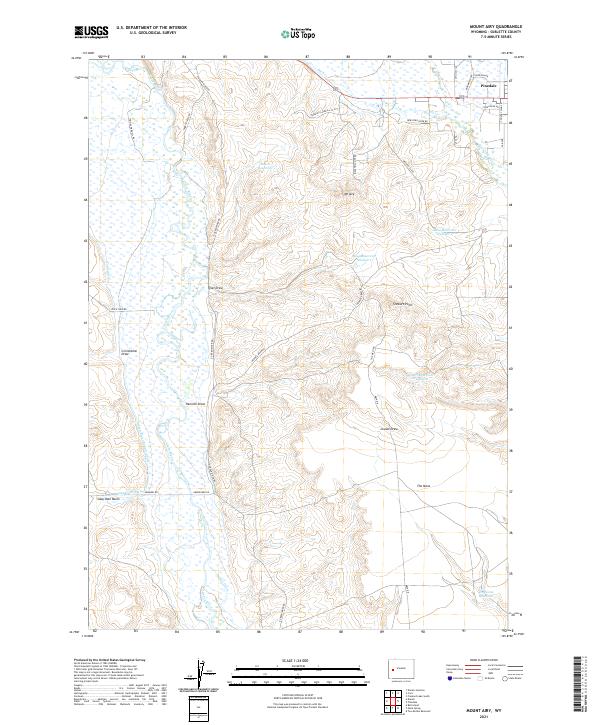 2021 Mount Airy2021 Print · USGSUpper Green River country in Sublette County comes into focus here, showing the highlands of The Mesa and the outskirts of Pinedale. Researchers can trace the region's ranching heritage through irrigation systems like Soap Hole Ditch and family-named routes such as Harry Steele Rd.
 - 2021 Map of Pinedale, 2021 Print
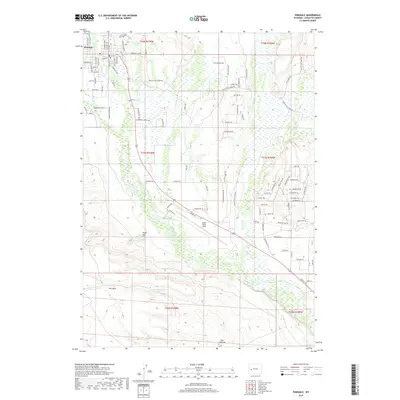
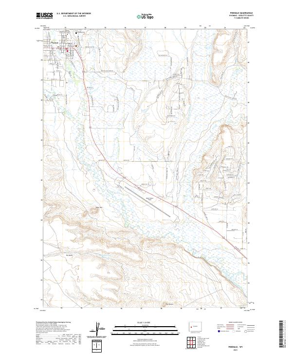 2021 Pinedale2021 Print · USGSThe high-desert ranching landscape of Sublette County is captured here in the early twenty-first century. Genealogists and historians can trace the town's growth from Pinedale Cem to civic landmarks like the Sublette County Courthouse and Ralph Wenz Field.
End of results
Showing maps 1-24 of 24
Frequently asked questions
- What are the different types of historical maps available for Pinedale?
- What is the oldest map of Pinedale?
- Where can I purchase historical maps of Pinedale for my home or office?
- Where can I download high-res historical maps of Pinedale?
- Are there historical topographic maps available for Pinedale?
- Is there historical aerial imagery available for Pinedale?
- Where are historical maps of Pinedale sourced from?