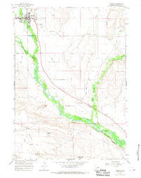
1964 Map of Pinedale
USGS Topo · Published 1968About this map
The town of Pinedale serves as the focal point for this mid-1960s study of the Upper Green River Valley, situated at the base of the Wind River Range. The landscape is defined by the confluence of mountain-fed waters, including Pine Creek and Pole Creek, which feed into the meandering New Fork River. Agricultural development is evident through a complex irrigation network, with labels such as the Highland Ditch, Lee DITCH, and Fayette Ditch tracing the movement of water across the valley floor. To the south, the terrain rises into The Mesa and Ruby Hill, where more arid features like Desert Res No 3 and Mount Airy Well indicate the shift toward high-desert ranching. Local landmarks of the era include the Rodeo Ground, the Plainview Cem, and Wenz Field (Pinedale Airport), reflecting the civic life of Sublette County.
Find a feature on this map
28 named features on this map. Tap any name to fly to it.
Don’t see what you’re looking for? This feature index may not catch every label — zoom into the map to look around manually.
Map Details
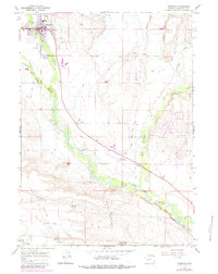
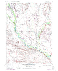
Editions of this 1964 Pinedale Map
3 editions found
Other maps of this area

1955 · Lander
USGS Topo · 1:250,000

1958 · Lander
USGS Topo · 1:250,000

1961 · Lander
USGS Topo · 1:250,000

1964 · Two Buttes Reservoir
USGS Topo · 1:24,000

1964 · Boulder Lake
USGS Topo · 1:24,000

1964 · Mount Airy
USGS Topo · 1:24,000

1964 · Mesa Spring
USGS Topo · 1:24,000
1964 · Cora
USGS Topo · 1:24,000

1964 · Boulder
USGS Topo · 1:24,000

1964 · Fremont Lake South
USGS Topo · 1:24,000