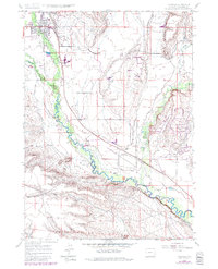
1964 Map of Pinedale
USGS Topo · Published 1984About this map
The town of Pinedale serves as the focal point of this mid-1960s survey, illustrating a community defined by its water management and high-altitude geography. The settlement's infrastructure is prominently marked, from the local High Sch and Rodeo Ground to the specialized Wenz Field and nearby Sewage Disposal Pond. A sophisticated network of irrigation is visible throughout the valley, where the Chance Ditch, Lee Ditch, and several other unnamed channels redirect water across the landscape.
Find a feature on this map
22 named features on this map. Tap any name to fly to it.
Don’t see what you’re looking for? This feature index may not catch every label — zoom into the map to look around manually.
Map Details
Editions of this 1964 Pinedale Map
3 editions found
Other maps of this area

1955 · Lander
USGS Topo · 1:250,000

1958 · Lander
USGS Topo · 1:250,000

1961 · Lander
USGS Topo · 1:250,000

1964 · Two Buttes Reservoir
USGS Topo · 1:24,000

1964 · Boulder Lake
USGS Topo · 1:24,000

1964 · Mount Airy
USGS Topo · 1:24,000

1964 · Mesa Spring
USGS Topo · 1:24,000
1964 · Cora
USGS Topo · 1:24,000

1964 · Boulder
USGS Topo · 1:24,000
1964 · Pinedale
USGS Topo · 1:24,000