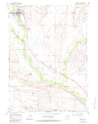
1964 Map of Pinedale
USGS Topo · Published 1984About this map
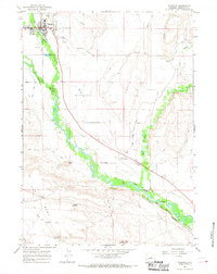
Pinedale serves as the hub of this 1960s High Country survey, positioned at the junction where Pine Creek flows down from the glacial lakes to meet the valley floor. The town's civic infrastructure is well-defined, showing the High Sch, the Rodeo Ground, and Plainview Cem on its northern edge. Water management for agriculture is a dominant theme of the landscape, with an intricate network of irrigation channels like the Lee Ditch, Highland Ditch, and the evocatively named Paradise Last Chance Ditch crisscrossing the sagebrush flats.
Find a feature on this map
35 named features on this map. Tap any name to fly to it.
Don’t see what you’re looking for? This feature index may not catch every label — zoom into the map to look around manually.
Map Details
Editions of this 1964 Pinedale Map
3 editions found
Other maps of this area

1955 · Lander
USGS Topo · 1:250,000

1958 · Lander
USGS Topo · 1:250,000

1961 · Lander
USGS Topo · 1:250,000

1964 · Two Buttes Reservoir
USGS Topo · 1:24,000

1964 · Boulder Lake
USGS Topo · 1:24,000

1964 · Mount Airy
USGS Topo · 1:24,000

1964 · Mesa Spring
USGS Topo · 1:24,000
1964 · Cora
USGS Topo · 1:24,000

1964 · Boulder
USGS Topo · 1:24,000
1964 · Pinedale
USGS Topo · 1:24,000