
1964 Map of Fremont Lake South
USGS Topo · Published 1978About this map
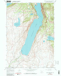
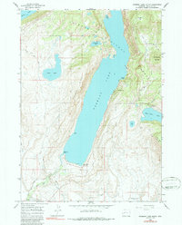
Fremont Lake dominates this glacial landscape north of Pinedale, its deep blue waters flanked by the steep walls of Fremont Ridge. In the early 1960s, the area served as a recreational gateway within the Bridger National Forest, evidenced by the presence of a Winter Sports Area and a Ski Lift on the eastern slopes below Fortification Mountain. This survey illustrates the early infrastructure for tourism and water management, featuring several campgrounds and the Highland Ditch network feeding agricultural interests downstream.
Find a feature on this map
33 named features on this map. Tap any name to fly to it.
Don’t see what you’re looking for? This feature index may not catch every label — zoom into the map to look around manually.
Map Details
Editions of this 1964 Fremont Lake South Map
3 editions found
Other maps of this area

1909 · Fremont Peak
USGS Topo · 1:125,000

1955 · Thermopolis
USGS Topo · 1:250,000

1955 · Lander
USGS Topo · 1:250,000

1958 · Lander
USGS Topo · 1:250,000

1958 · Thermopolis
USGS Topo · 1:250,000

1961 · Lander
USGS Topo · 1:250,000

1962 · Thermopolis
USGS Topo · 1:250,000

1964 · Boulder Lake
USGS Topo · 1:24,000

1964 · Mount Airy
USGS Topo · 1:24,000
1964 · Cora
USGS Topo · 1:24,000