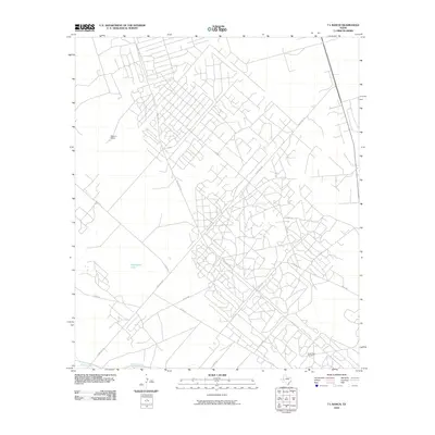
2010 Map of 7 L Ranch
USGS Topo · Published 2010About this map
Seven L Ranch anchors a West Texas landscape defined by petroleum extraction and agricultural water management in Ward County. The presence of the South Ward Oil Field highlights the region's industrial footprint, with a dense network of service roads and county routes crisscrossing the arid terrain to support local energy production. Water, a critical resource in this dry environment, is channeled through the Grandfalls Canal and Big Valley Canal along the southern reaches of the survey. These man-made waterways contrast with natural features like Hackberry Lake, illustrating the complex effort to harness the Pecos River basin's resources. The map captures a moment when traditional ranching and modern oil and gas operations coexist within a framework of infrastructure provided by Ranch Rd 1219 and several other state-maintained ranch roads.
Find a feature on this map
21 named features on this map. Tap any name to fly to it.
Don’t see what you’re looking for? This feature index may not catch every label — zoom into the map to look around manually.
Map Details
Editions of this 2010 7 L Ranch Map
This is the sole edition of this map. No revisions or reprints were ever made.
Other maps of this area

1931 · Barstow
USGS Topo · 1:125,000

1954 · Pecos
USGS Topo · 1:250,000

1957 · Pecos
USGS Topo · 1:250,000

1963 · China Lake NE
USGS Topo · 1:24,000

1963 · Rio Pecos Ranch
USGS Topo · 1:24,000

1968 · Monahans SE
USGS Topo · 1:24,000

1969 · Ozark Lake
USGS Topo · 1:24,000

1969 · Grandfalls
USGS Topo · 1:24,000

1969 · Pyote East
USGS Topo · 1:24,000

1969 · Monahans
USGS Topo · 1:24,000