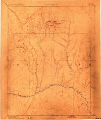
1893 Map of Abajo
USGS Topo · Published 1914About this map
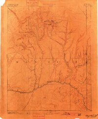
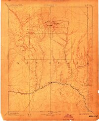
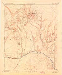
Bluff City sits as the primary outpost on the San Juan River in this late nineteenth-century reconnaissance, marking a critical crossing point in the high desert of San Juan County. The landscape is dominated by the massive uplift of the Abajo Mts, where Mt Linnaeus and Abajo Peak rise above a complex network of drainage basins. The map illustrates a transitional era of western geography, documenting the Navajo Indian Res Line south of the river and the historic path of the Old Spanish Trail as it cuts across the northern plateaus. To the west, the prominent formation of Elk Ridge and the landmark peaks of Orejas del Oso overlook deep canyons carved by Butler Wash and Cottonwood Wash. This survey reflects the early efforts of the Hayden Surveys to document the expansive canyon country and its vital water sources, such as Recapture Creek and Montezuma Creek, which were essential for late-century settlement and navigation.
Find a feature on this map
23 named features on this map. Tap any name to fly to it.
Don’t see what you’re looking for? This feature index may not catch every label — zoom into the map to look around manually.
Map Details
Editions of this 1893 Abajo Map
5 editions found

Other maps of this area

1883 · Marsh Pass
USGS Topo · 1:250,000

1885 · San Rafael
USGS Topo · 1:250,000

1885 · La Sal
USGS Topo · 1:250,000

1886 · Henry Mountains
USGS Topo · 1:250,000

1886 · Abajo
USGS Topo · 1:250,000

1889 · Chaco
USGS Topo · 1:250,000

1892 · Marsh Pass
USGS Topo · 1:250,000

1892 · Abajo
USGS Topo · 1:250,000

1892 · Henry Mountains
USGS Topo · 1:250,000

1892 · Chaco
USGS Topo · 1:250,000