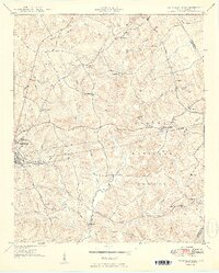
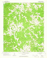
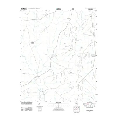
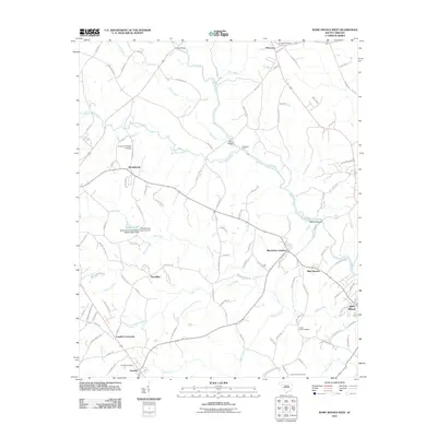
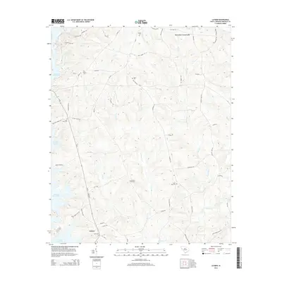
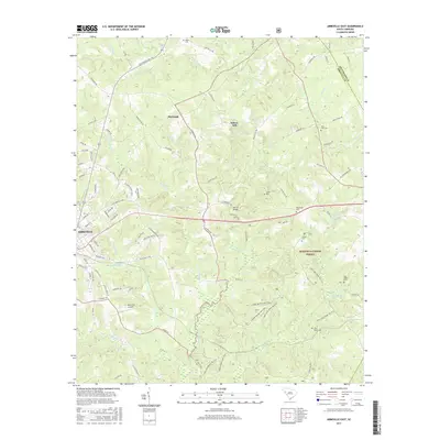
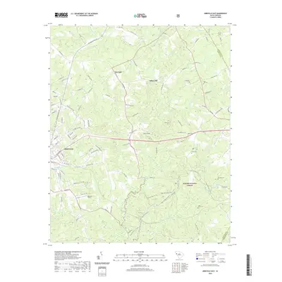
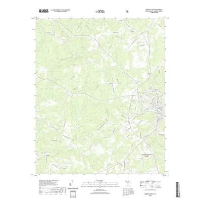
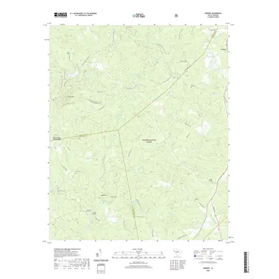
1950 Map of Abbeville East
USGS Topo · Published 1950About this map
Abbeville anchors the western edge of this mid-century landscape, where the town’s infrastructure, such as the Abbeville Pumping Station and the County Training Sch, reflects a growing post-war community. The surrounding countryside is deeply marked by educational and religious centers, including Tabernacle Sch, Shiloh Sch, and several churches like Beulah Ch and Mt Olive Ch. The geography is defined by the headwaters of the Long Cane Creek and Little Curtail Creek, with the eastern portions largely contained within the Sumter National Forest.
Find a feature on this map
46 named features on this map. Tap any name to fly to it.
Don’t see what you’re looking for? This feature index may not catch every label — zoom into the map to look around manually.
Map Details
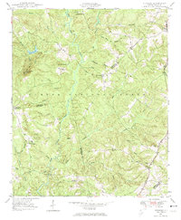
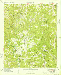
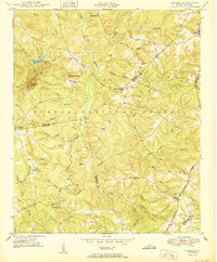
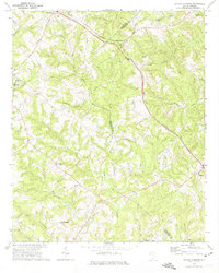
Editions of this 1950 Abbeville East Map
2 editions found
Historical Maps of Abbeville Through Time
44 maps found

1948 Abbeville East
Abbeville County, SC

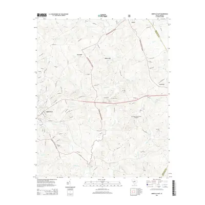
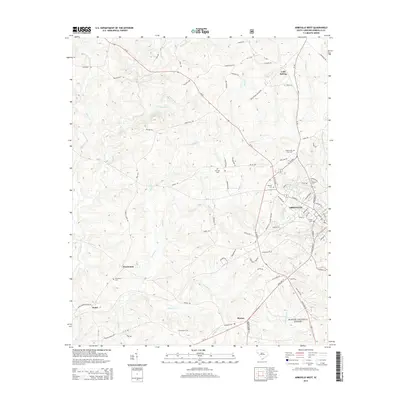
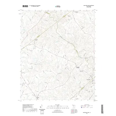
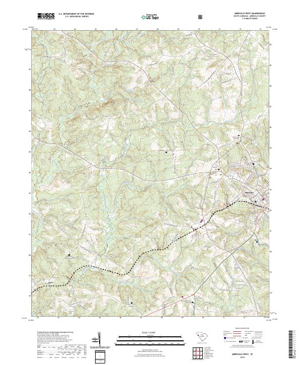
1948 Abbeville West
Abbeville County, SC
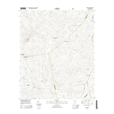
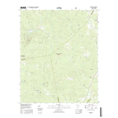
1948 Verdery
Abbeville County, SC
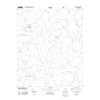
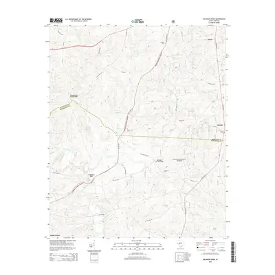
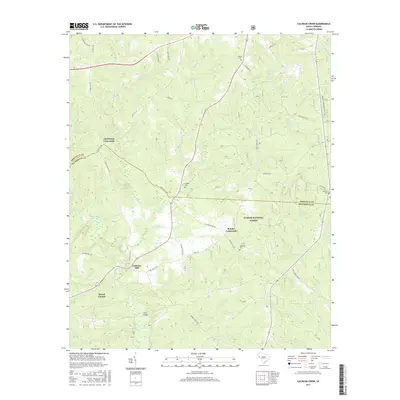
1949 Calhoun Creek
Abbeville County, SC

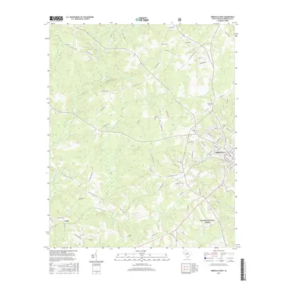
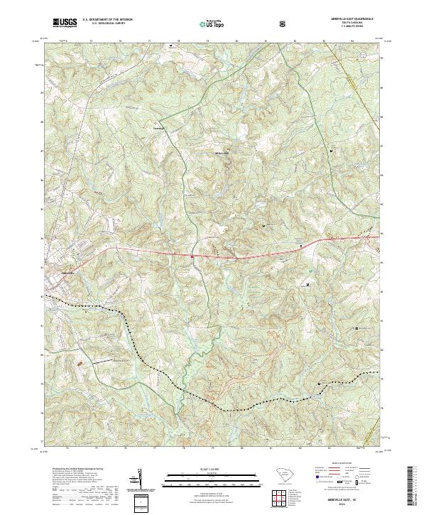
1950 Abbeville East
Abbeville County, SC
1950 Verdery
Abbeville County, SC
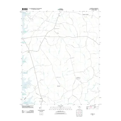
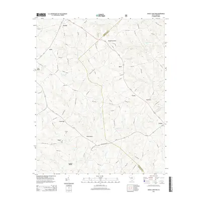
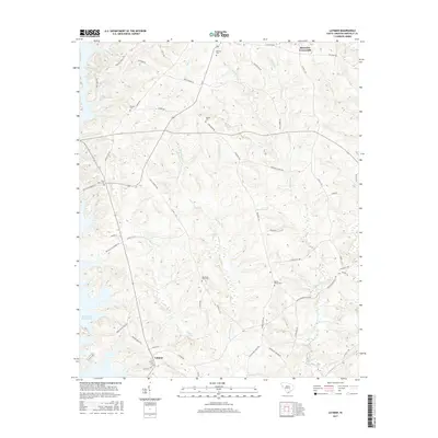
1964 Latimer
Abbeville County, SC
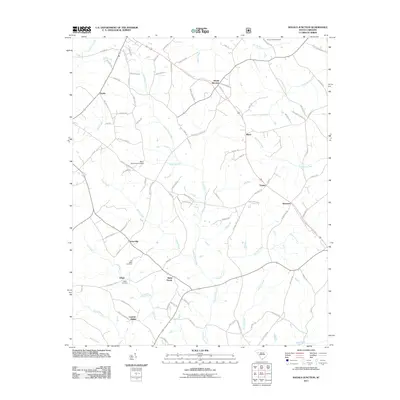
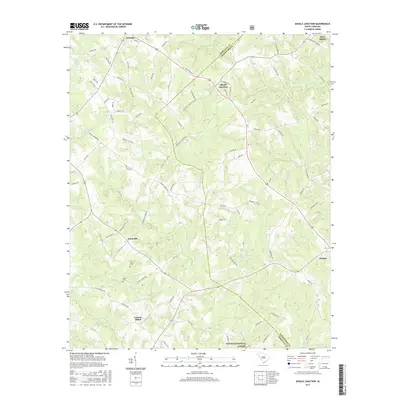
1971 Shoals Junction
Abbeville County, SC

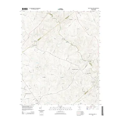
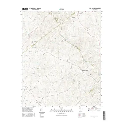
1971 Ware Shoals West
Abbeville County, SC
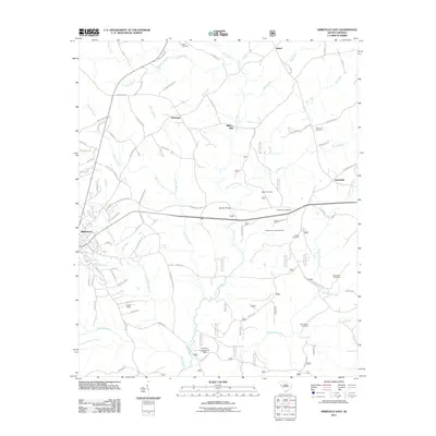
2011 Abbeville East
Abbeville County, SC
2011 Abbeville West
Abbeville County, SC
2011 Calhoun Creek
Abbeville County, SC
2011 Latimer
Abbeville County, SC
2011 Shoals Junction
Abbeville County, SC
2011 Verdery
Abbeville County, SC
2011 Ware Shoals West
Abbeville County, SC
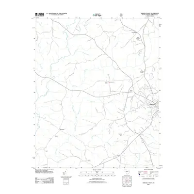
2014 Abbeville East
Abbeville County, SC
2014 Abbeville West
Abbeville County, SC
2014 Calhoun Creek
Abbeville County, SC
2014 Latimer
Abbeville County, SC
2014 Shoals Junction
Abbeville County, SC
2014 Verdery
Abbeville County, SC
2014 Ware Shoals West
Abbeville County, SC
2017 Abbeville East
Abbeville County, SC
2017 Abbeville West
Abbeville County, SC
2017 Calhoun Creek
Abbeville County, SC
2017 Latimer
Abbeville County, SC
2017 Shoals Junction
Abbeville County, SC
2017 Verdery
Abbeville County, SC
2017 Ware Shoals West
Abbeville County, SC
2020 Abbeville East
Abbeville County, SC
2020 Abbeville West
Abbeville County, SC
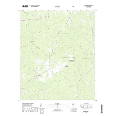
2020 Calhoun Creek
Abbeville County, SC
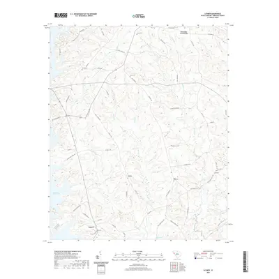
2020 Latimer
Abbeville County, SC
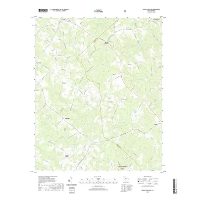
2020 Shoals Junction
Abbeville County, SC
2020 Verdery
Abbeville County, SC
2020 Ware Shoals West
Abbeville County, SC
2024 Abbeville East
Abbeville County, SC
2024 Abbeville West
Abbeville County, SC
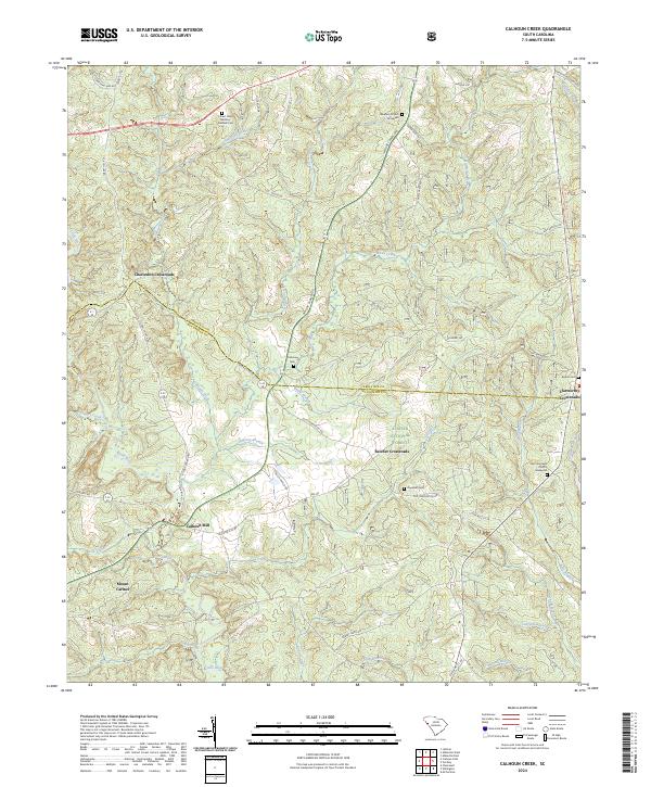
2024 Calhoun Creek
Abbeville County, SC
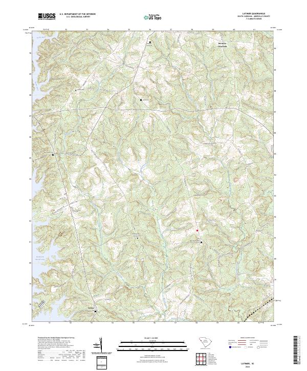
2024 Latimer
Abbeville County, SC
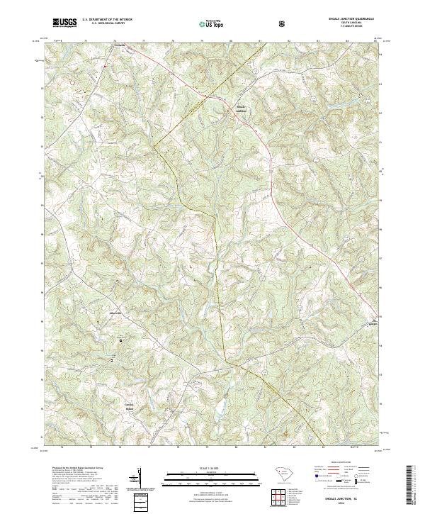
2024 Shoals Junction
Abbeville County, SC
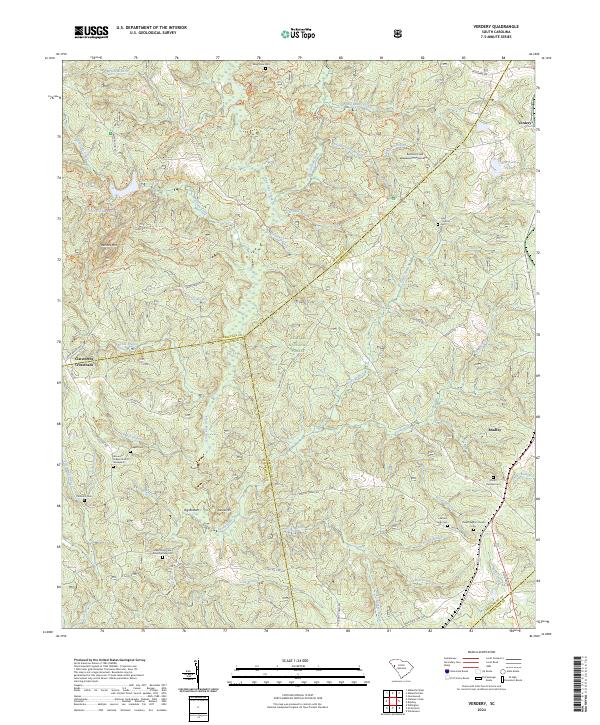
2024 Verdery
Abbeville County, SC
2024 Ware Shoals West
Abbeville County, SC