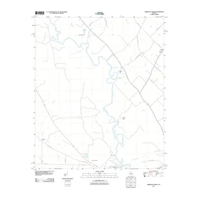
2011 Map of Abbeville North
USGS Topo · Published 2011About this map
The Ocmulgee River meanders through Wilcox County, Georgia, defining a landscape of agricultural stretches and dense riverbank terrain near Union. The winding river channel is punctuated by features such as Phelps Bluff and the Wilcox County Public Boat Ramp, indicating the water's importance for local navigation and recreation. To the west, the land is drained by numerous tributaries, including Gum Creek, Sagegrass Creek, and Folsom Creek, while small impoundments like Harrell Pond are managed by the Harrell Pond Dam. For those researching local families, the map identifies several burial sites including Bowen Cemetery, Mitchell Cemetery, and Cannonville Cemetery. The road network, including Orphans Cemetery Rd and Old Abbeville Rd, connects these rural homesteads and legacy land tracts across the Georgia coastal plain.
Find a feature on this map
33 named features on this map. Tap any name to fly to it.
Don’t see what you’re looking for? This feature index may not catch every label — zoom into the map to look around manually.
Map Details
Editions of this 2011 Abbeville North Map
This is the sole edition of this map. No revisions or reprints were ever made.
Other maps of this area

1953 · Waycross
USGS Topo · 1:250,000

1957 · Macon
USGS Topo · 1:250,000

1958 · Macon
USGS Topo · 1:250,000

1958 · Waycross
USGS Topo · 1:250,000

1964 · Macon
USGS Topo · 1:250,000

1972 · Eastman
USGS Topo · 1:24,000

1972 · Finleyson East
USGS Topo · 1:24,000

1972 · West Of Eastman
USGS Topo · 1:24,000

1972 · Abbeville North
USGS Topo · 1:24,000

1972 · Pineview East
USGS Topo · 1:24,000