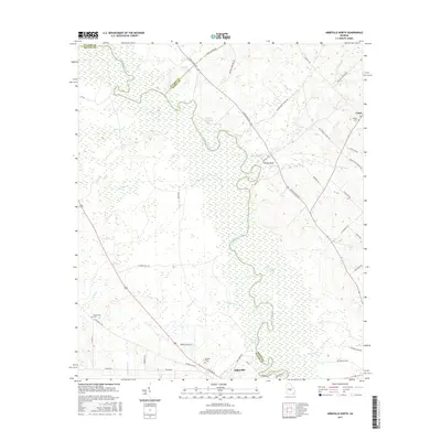
2017 Map of Abbeville North
USGS Topo · Published 2017About this map
The Ocmulgee River winds through the heart of this landscape along the borders of Wilcox, Dodge, and Pulaski counties. Near the northern reach of the city of Abbeville, the river valley is defined by its extensive wetlands and side channels, including Sagegrass Creek and Town Cr. The terrain rises toward Phelps Bluff and the small community of Union, where family-named landmarks like Bowen Cem and the Daniels Millpond mark generations of local settlement.
Find a feature on this map
55 named features on this map. Tap any name to fly to it.
Don’t see what you’re looking for? This feature index may not catch every label — zoom into the map to look around manually.
Map Details
Editions of this 2017 Abbeville North Map
This is the sole edition of this map. No revisions or reprints were ever made.
Other maps of this area

1953 · Waycross
USGS Topo · 1:250,000

1957 · Macon
USGS Topo · 1:250,000

1958 · Macon
USGS Topo · 1:250,000

1958 · Waycross
USGS Topo · 1:250,000

1964 · Macon
USGS Topo · 1:250,000

1972 · Eastman
USGS Topo · 1:24,000

1972 · Finleyson East
USGS Topo · 1:24,000

1972 · West Of Eastman
USGS Topo · 1:24,000

1972 · Abbeville North
USGS Topo · 1:24,000

1972 · Pineview East
USGS Topo · 1:24,000