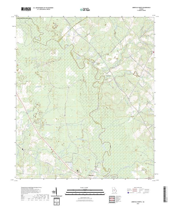
2024 Map of Abbeville North
USGS Topo · Published 2024About this map
The Ocmulgee River meanders through a landscape of wetlands and winding creeks at the intersection of Wilcox, Pulaski, and Dodge counties. This 2024 survey of the area north of Abbeville illustrates a complex hydraulic environment where features like Daniels Millpond and Harrell Pond gather water from numerous tributaries including Cedar Creek and Sagegrass Creek. The terrain is characterized by gradual elevation changes, most notably at Phelps Bluff overlooking the river bottomlands.
Find a feature on this map
52 named features on this map. Tap any name to fly to it.
Don’t see what you’re looking for? This feature index may not catch every label — zoom into the map to look around manually.
Map Details
Editions of this 2024 Abbeville North Map
This is the sole edition of this map. No revisions or reprints were ever made.
Other maps of this area

1953 · Waycross
USGS Topo · 1:250,000

1957 · Macon
USGS Topo · 1:250,000

1958 · Macon
USGS Topo · 1:250,000

1958 · Waycross
USGS Topo · 1:250,000

1964 · Macon
USGS Topo · 1:250,000

1972 · Eastman
USGS Topo · 1:24,000

1972 · Finleyson East
USGS Topo · 1:24,000

1972 · West Of Eastman
USGS Topo · 1:24,000

1972 · Abbeville North
USGS Topo · 1:24,000

1972 · Pineview East
USGS Topo · 1:24,000