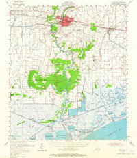
1954 Map of Abbeville
USGS Topo · Published 1965About this map
Abbeville serves as the focal point for this mid-century look at Vermilion Parish, where the industrial presence of the Southern Pacific railroad meets a landscape defined by complex water systems. The map traces the winding Vermilion River as it passes from the parish seat down toward Intracoastal City and the vast Vermilion Bay. This era shows the local economy's heavy reliance on natural resources, evident in the Erath Oil and Gas Field and numerous gas wells scattered across the coastal marshes. Rural life is anchored by family and community landmarks such as Briggs Chapel, the Mouton Cove Sch, and several localized burial grounds like Trahan Cem and Bares Cem. The transition from agricultural land to tidal marsh is marked by timbered elevations like Big Woods Island and Palmetto Island, providing a detailed record of the terrain before decades of coastal change.
Find a feature on this map
96 named features on this map. Tap any name to fly to it.
Don’t see what you’re looking for? This feature index may not catch every label — zoom into the map to look around manually.
Map Details
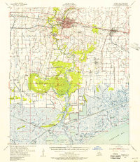
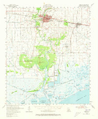
Editions of this 1954 Abbeville Map
3 editions found
Other maps of this area

1932 · Abbeville SW
USGS Topo · 1:31,680

1932 · Abbeville SE
USGS Topo · 1:31,680

1932 · Abbeville NE
USGS Topo · 1:31,680

1932 · Abbeville NW
USGS Topo · 1:31,680

1937 · Derouen
USGS Topo · 1:62,500

1939 · St. Martinsville
USGS Topo · 1:62,500

1945 · New Orleans
USGS Topo · 1:250,000

1945 · Pecan Island NE
USGS Topo · 1:31,680

1946 · Milton
USGS Topo · 1:31,680

1946 · Schooner Bayou SE
USGS Topo · 1:31,680