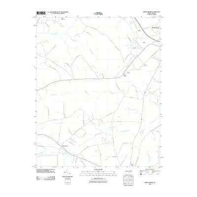
2010 Map of Abbottsburg
USGS Topo · Published 2010About this map
Brown Marsh Swamp and Crawley Swamp dominate the low-lying drainage patterns of this North Carolina landscape, where early 21st-century agricultural roads crisscross the terrain. Near the settlement of Abbottsburg, the drainage is particularly complex with the presence of Mill Race and multiple branches of Whites Creek flowing toward the southeast. The area is marked by a high concentration of family burial grounds and memorial sites, including Benson Cemetery, McGill Cemetery, and Pone Cemetery, which serve as vital touchstones for local genealogical research.
Find a feature on this map
60 named features on this map. Tap any name to fly to it.
Don’t see what you’re looking for? This feature index may not catch every label — zoom into the map to look around manually.
Map Details
Editions of this 2010 Abbottsburg Map
This is the sole edition of this map. No revisions or reprints were ever made.
Other maps of this area

1953 · Chadbourn
USGS Topo · 1:62,500

1953 · Florence
USGS Topo · 1:250,000

1954 · Florence
USGS Topo · 1:250,000

1955 · Whiteville
USGS Topo · 1:62,500

1955 · Elizabethtown
USGS Topo · 1:62,500

1957 · Bladenboro
USGS Topo · 1:62,500

1982 · Elizabethtown
USGS Topo · 1:100,000

1986 · Whiteville
USGS Topo · 1:100,000

1986 · Tar Heel
USGS Topo · 1:24,000
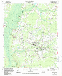
1986 · Bladenboro
USGS Topo · 1:24,000