Loading...
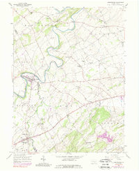
Loading map...1953 Map of Abbottstown
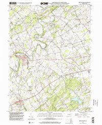
USGS Topo · Published 1974About this map
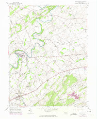
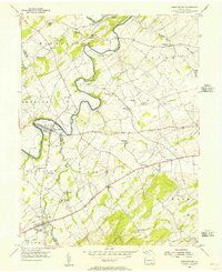
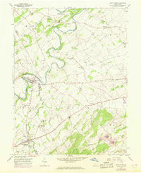
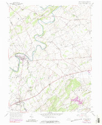
Conewago Creek meanders deeply through the center of this rural landscape, carving a winding boundary between Washington and Reading townships. The map documents a predominantly agrarian region punctuated by concentrated borough settlements like Abbottstown and East Berlin, both of which exhibit established street grids and early industrial footprints. The Lincoln Highway serves as the primary east-west artery, connecting smaller hamlets such as Farmers and La Bott to larger regional hubs.
Find a feature on this map
45 named features on this map. Tap any name to fly to it.
Don’t see what you’re looking for? This feature index may not catch every label — zoom into the map to look around manually.
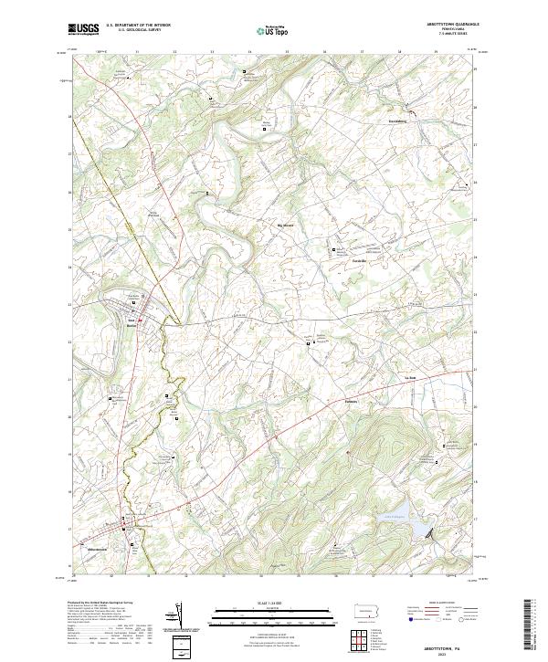
Map Details
Date Portrayed1953
Date Published1974
PublisherU.S. Geological Survey
Map TypeTopographic
Scale1:24,000
Physical Dimensions22.1 x 27 inches
Editions of this 1953 Abbottstown Map
5 editions found
Historical Maps of East Berlin Through Time
3 maps found
Featured Locations
Source Details
SourceU.S. Geological Survey
CopyrightPublic Domain