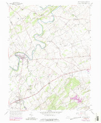
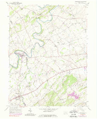
1953 Map of Abbottstown
USGS Topo · Published 1989About this map
The Conewago Creek and Bermudian Creek define the landscape of the York and Adams County border, where agricultural life and early transit corridors intersect. The map illustrates a rural network of named schools such as Asper Sch and Miller Sch, alongside a density of rural chapels including Red Run Ch and Roth Ch. The historic Lincoln Highway serves as the primary artery connecting the borough of Abbottstown with the village of Farmers and beyond to the York Airport.
Find a feature on this map
43 named features on this map. Tap any name to fly to it.
Don’t see what you’re looking for? This feature index may not catch every label — zoom into the map to look around manually.
Map Details
Editions of this 1953 Abbottstown Map
5 editions found
Other maps of this area

1904 · Carlisle
USGS Topo · 1:62,500

1906 · New Cumberland
USGS Topo · 1:62,500

1908 · Gettysburg
USGS Topo · 1:62,500

1920 · Hanover
USGS Topo · 1:62,500

1922 · Hanover
USGS Topo · 1:62,500

1942 · Gettysburg
USGS Topo · 1:125,000

1943 · New Cumberland
USGS Topo · 1:62,500

1943 · Carlisle
USGS Topo · 1:62,500

1944 · Mc Sherrystown
USGS Topo · 1:31,680

1944 · Hampton
USGS Topo · 1:31,680