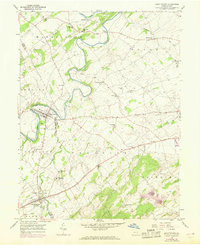
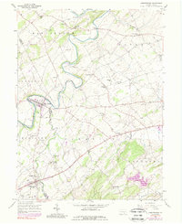
1953 Map of Abbottstown
USGS Topo · Published 1969About this map
The Conewago Creek and Bermudian Creek define this agricultural landscape on the border of Adams and York counties. In the late 1960s, the area's development is concentrated along the Lincoln Highway, which links the borough of Abbottstown in the south to Farmers and La Bott in the east. The map captures a moment of significant infrastructure expansion, including the emergence of a four-lane highway and the York Airport near Jackson.
Find a feature on this map
49 named features on this map. Tap any name to fly to it.
Don’t see what you’re looking for? This feature index may not catch every label — zoom into the map to look around manually.
Map Details
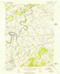
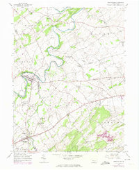
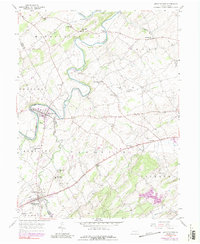
Editions of this 1953 Abbottstown Map
5 editions found
Other maps of this area

1904 · Carlisle
USGS Topo · 1:62,500

1906 · New Cumberland
USGS Topo · 1:62,500

1908 · Gettysburg
USGS Topo · 1:62,500

1920 · Hanover
USGS Topo · 1:62,500

1922 · Hanover
USGS Topo · 1:62,500

1942 · Gettysburg
USGS Topo · 1:125,000

1943 · New Cumberland
USGS Topo · 1:62,500

1943 · Carlisle
USGS Topo · 1:62,500

1944 · Mc Sherrystown
USGS Topo · 1:31,680

1944 · Hampton
USGS Topo · 1:31,680