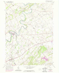
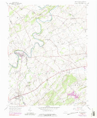
1953 Map of Abbottstown
USGS Topo · Published 1989About this map
Conewago Creek and Bermudian Creek wind through this mid-century landscape along the border of Adams and York Counties. The map captures a transition period in regional transportation, featuring the development of the Lincoln Highway 3 Lane corridor alongside established boroughs like East Berlin and Abbottstown. Educational and religious foundations of these rural townships are well-documented, from the Airy Hill Sch and Schaeffer Sch to numerous country congregations such as Paradise Ch and Red Run Ch. Significant local institutions are prominently marked, including the Adams County Fair Grounds and the Paradise Protectory. The varied terrain of the Pigeon Hills to the south contrasts with the flatter agricultural lands near Davidsburg and Farmers, where the York Airport serves the growing aviation needs of the area.
Find a feature on this map
52 named features on this map. Tap any name to fly to it.
Don’t see what you’re looking for? This feature index may not catch every label — zoom into the map to look around manually.
Map Details
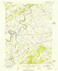
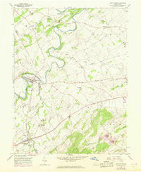
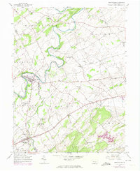
Editions of this 1953 Abbottstown Map
5 editions found
Other maps of this area

1904 · Carlisle
USGS Topo · 1:62,500

1906 · New Cumberland
USGS Topo · 1:62,500

1908 · Gettysburg
USGS Topo · 1:62,500

1920 · Hanover
USGS Topo · 1:62,500

1922 · Hanover
USGS Topo · 1:62,500

1942 · Gettysburg
USGS Topo · 1:125,000

1943 · New Cumberland
USGS Topo · 1:62,500

1943 · Carlisle
USGS Topo · 1:62,500

1944 · Mc Sherrystown
USGS Topo · 1:31,680

1944 · Hampton
USGS Topo · 1:31,680