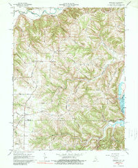
1965 Map of Aberdeen
USGS Topo · Published 1989About this map
Laughery Creek and the Ohio River frame this mid-century view of a landscape defined by its high ridges and deep hollows along the Indiana-Kentucky border. The terrain is structured by prominent features such as Woods Ridge, Hartford Ridge, and Dutch Ridge, where upland settlements like Aberdeen and Hartford are connected by a network of winding roads including Hartford Pike and Aberdeen Road.
Find a feature on this map
63 named features on this map. Tap any name to fly to it.
Don’t see what you’re looking for? This feature index may not catch every label — zoom into the map to look around manually.
Map Details
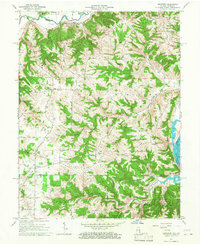
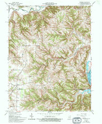
Editions of this 1965 Aberdeen Map
3 editions found
Other maps of this area

1915 · Lawrenceburg
USGS Topo · 1:48,000

1928 · Lawrenceburg
USGS Topo · 1:62,500

1932 · Lawrenceburg
USGS Topo · 1:62,500

1943 · Florence
USGS Topo · 1:24,000

1943 · Aberdeen
USGS Topo · 1:24,000

1943 · Aurora
USGS Topo · 1:24,000

1943 · Vevay North
USGS Topo · 1:24,000

1943 · Rising Sun
USGS Topo · 1:24,000

1943 · Lawrenceburg
USGS Topo · 1:24,000

1943 · Patriot
USGS Topo · 1:24,000