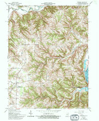
1965 Map of Aberdeen
USGS Topo · Published 1994About this map
Laughery Creek carves a winding path along the northern boundary of this Ohio County landscape, where the terrain rises sharply from the Ohio River valley into a series of prominent ridges. Settlement patterns during the mid-1960s were largely defined by these elevations, with small communities like Aberdeen and Hartford serving as local hubs. The map provides a clear look at the rural infrastructure of the era, from the Cass Union Sch to numerous hilltop congregations such as Salem Ch and Mt Pleasant Ch.
Find a feature on this map
52 named features on this map. Tap any name to fly to it.
Don’t see what you’re looking for? This feature index may not catch every label — zoom into the map to look around manually.
Map Details
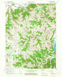
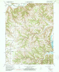
Editions of this 1965 Aberdeen Map
3 editions found
Other maps of this area

1915 · Lawrenceburg
USGS Topo · 1:48,000

1928 · Lawrenceburg
USGS Topo · 1:62,500

1932 · Lawrenceburg
USGS Topo · 1:62,500

1943 · Florence
USGS Topo · 1:24,000

1943 · Aberdeen
USGS Topo · 1:24,000

1943 · Aurora
USGS Topo · 1:24,000

1943 · Vevay North
USGS Topo · 1:24,000

1943 · Rising Sun
USGS Topo · 1:24,000

1943 · Lawrenceburg
USGS Topo · 1:24,000

1943 · Patriot
USGS Topo · 1:24,000