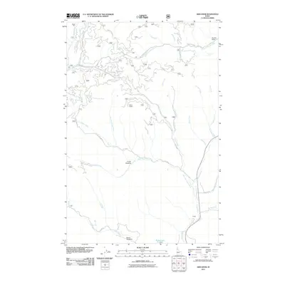
2011 Map of Abes Knob
USGS Topo · Published 2011About this map
Abes Knob stands as a prominent landmark in this upland Idaho landscape, where the headwaters of several major drainages begin their descent. The terrain is defined by the Palouse Divide, a significant geographic boundary separating the northern flow of the Palouse River from the southern reach of the West Fork Potlatch River. This 2011 survey reveals a region heavily utilized for forestry and resource extraction, connected by a network of forest roads like the Palouse River Rd and the NFD 1954 Rd.
Find a feature on this map
40 named features on this map. Tap any name to fly to it.
Don’t see what you’re looking for? This feature index may not catch every label — zoom into the map to look around manually.
Map Details
Editions of this 2011 Abes Knob Map
This is the sole edition of this map. No revisions or reprints were ever made.
Other maps of this area

1955 · Pullman
USGS Topo · 1:250,000

1955 · Spokane
USGS Topo · 1:250,000

1957 · Emida
USGS Topo · 1:62,500

1958 · Spokane
USGS Topo · 1:250,000

1958 · Pullman
USGS Topo · 1:250,000

1961 · Deary
USGS Topo · 1:62,500

1961 · Fernwood
USGS Topo · 1:62,500

1961 · Bovill
USGS Topo · 1:62,500

1981 · St Maries
USGS Topo · 1:100,000

1981 · Potlatch
USGS Topo · 1:100,000