
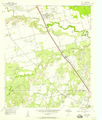
1957 Map of Abilene West
USGS Topo · Published 1958About this map
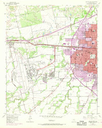
Dyess Air Force Base dominates the western landscape of this mid-century Texas survey, illustrating the significant military footprint near the city limits. The expansion of Abilene is evident in the burgeoning residential grids of Crescent Heights and the presence of numerous institutions like McMurry College and the West Texas Rehabilitation Center (KRBC) Radio and TV Station. The region's infrastructure is defined by the Texas and Pacific railroad and the Veterans World War II Highway, which serve as primary east-west corridors.
Find a feature on this map
45 named features on this map. Tap any name to fly to it.
Don’t see what you’re looking for? This feature index may not catch every label — zoom into the map to look around manually.
Map Details
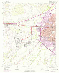
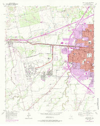
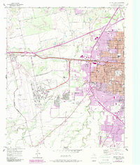
Editions of this 1957 Abilene West Map
5 editions found
Other maps of this area

1890 · Abilene
USGS Topo · 1:125,000

1891 · Anson
USGS Topo · 1:125,000

1892 · Abilene
USGS Topo · 1:125,000

1893 · Anson
USGS Topo · 1:125,000

1954 · Abilene
USGS Topo · 1:250,000

1957 · Hawley
USGS Topo · 1:62,500

1957 · Kirby Lake
USGS Topo · 1:62,500

1957 · Abilene East
USGS Topo · 1:24,000

1957 · Nugent
USGS Topo · 1:62,500
1957 · Hawley
USGS Topo · 1:24,000