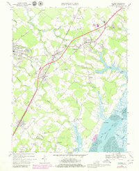
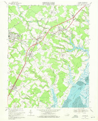
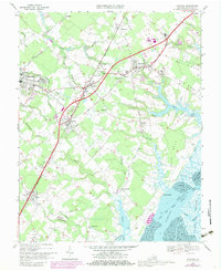
1968 Map of Accomac
USGS Topo · Published 1980About this map
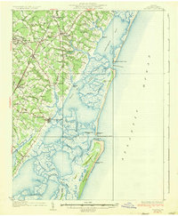
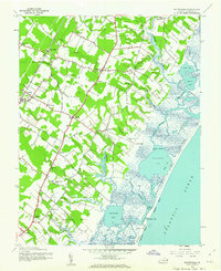
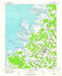
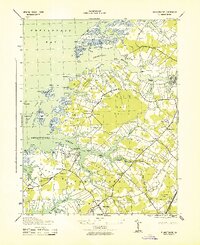
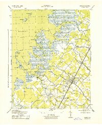
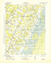
Accomac and the surrounding Eastern Shore interior are defined by the Virginia and Maryland railroad corridor and a network of traditional settlements. The map shows the transition from established towns like Onley and Melfa to the intricate marshlands and tidal flats of Burtons Bay and Cedar Island Bay. This era finds the region maintaining its agrarian and maritime roots, evidenced by numerous small landings like Folly Creek Landing and the prominence of landmarks such as Johnson Field and the Keller Fairgrounds. The landscape is etched with historical family and local markers, from Edge Hill Cem to the diverse branches and creeks, including Rattrap Creek and Nickawampus Creek, which drained the fertile coastal plain. These detailed topographic records reveal the spatial relationship between local schools like Smith High Sch and the dispersed communities of Ticktown, Graysville, and Chancetown.
Find a feature on this map
67 named features on this map. Tap any name to fly to it.
Don’t see what you’re looking for? This feature index may not catch every label — zoom into the map to look around manually.
Map Details
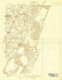
Editions of this 1968 Accomac Map
Other maps of this area

1903 · Crisfield
USGS Topo · 1:62,500

1920 · Crisfield
USGS Topo · 1:62,500
1931 · Accomac
USGS Topo · 1:48,000
1935 · Accomac
USGS Topo · 1:62,500
1942 · Chesconessex
USGS Topo · 1:31,680
1942 · Mappsville
USGS Topo · 1:24,000
1942 · Parksley
USGS Topo · 1:24,000
1943 · Pungoteague
USGS Topo · 1:31,680
1943 · Parksley
USGS Topo · 1:31,680
1943 · Mappsville
USGS Topo · 1:31,680