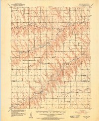
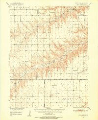
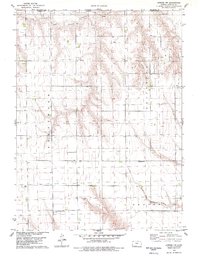
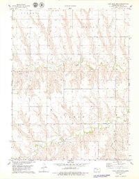
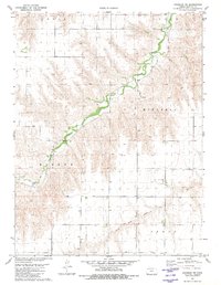
1951 Map of Achilles
USGS Topo · Published 1952This historical map portrays the area of Achilles in 1951, primarily covering Rawlins County as well as portions of Thomas County. Featuring a scale of 1:62500, this map provides a highly detailed snapshot of the terrain, roads, buildings, counties, and historical landmarks in the Achilles region at the time. Published in 1952, it is one of 2 known editions of this map due to revisions or reprints.
Find a feature on this map
30 named features on this map. Tap any name to fly to it.
Don’t see what you’re looking for? This feature index may not catch every label — zoom into the map to look around manually.
Map Details
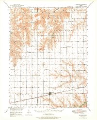
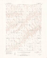
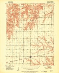
Editions of this 1951 Achilles Map
2 editions found
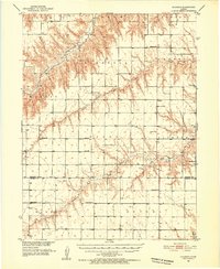
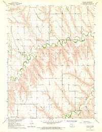
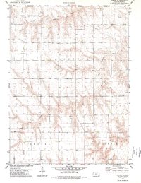
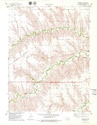
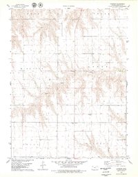
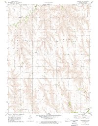
Historical Maps of Achilles Through Time
28 maps found
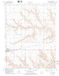
1950 Mc Donald
Rawlins County, KS
1951 Achilles
Rawlins County, KS
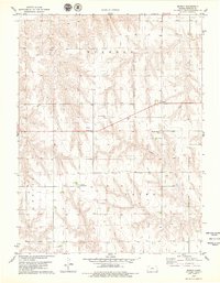
1951 Chardon
Rawlins County, KS
1951 Dewey Ranch
Rawlins County, KS
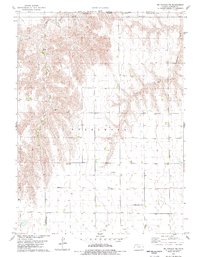
1951 Mc Donald
Rawlins County, KS
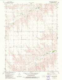
1965 Achilles
Rawlins County, KS
1978 Atwood NE
Rawlins County, KS
1978 Atwood NW
Rawlins County, KS
1978 Beardsley
Rawlins County, KS
1978 Chardon
Rawlins County, KS
1978 Herndon NW
Rawlins County, KS
1978 Long Draw North
Rawlins County, KS
1978 Mc Donald NE
Rawlins County, KS
1978 Mc Donald
Rawlins County, KS
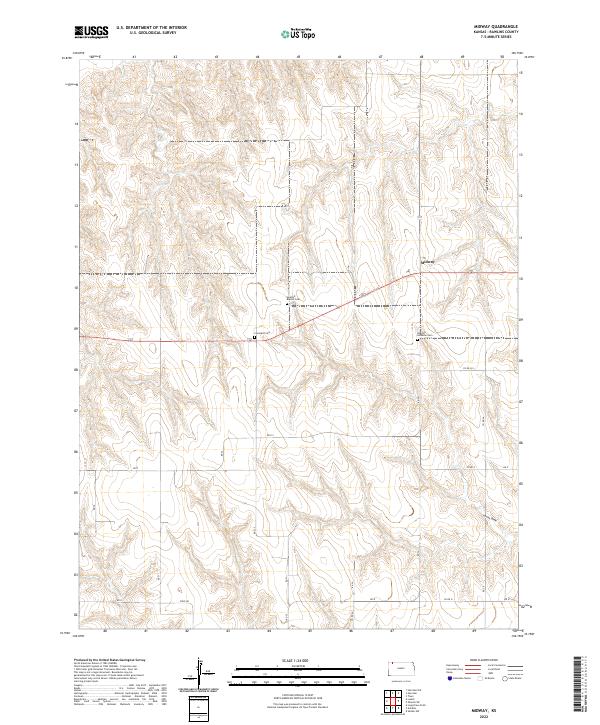
1978 Midway
Rawlins County, KS
1981 Chardon NW
Rawlins County, KS
1981 Dewey Ranch
Rawlins County, KS
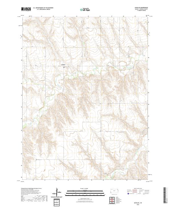
2022 Achilles
Rawlins County, KS
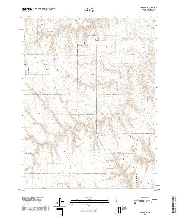
2022 Atwood NE
Rawlins County, KS
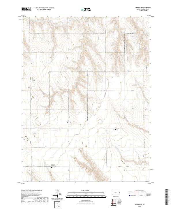
2022 Atwood NW
Rawlins County, KS
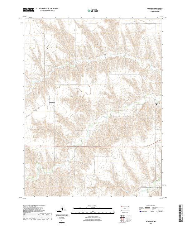
2022 Beardsley
Rawlins County, KS
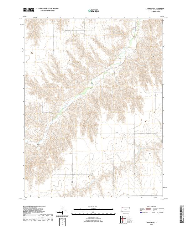
2022 Chardon NW
Rawlins County, KS
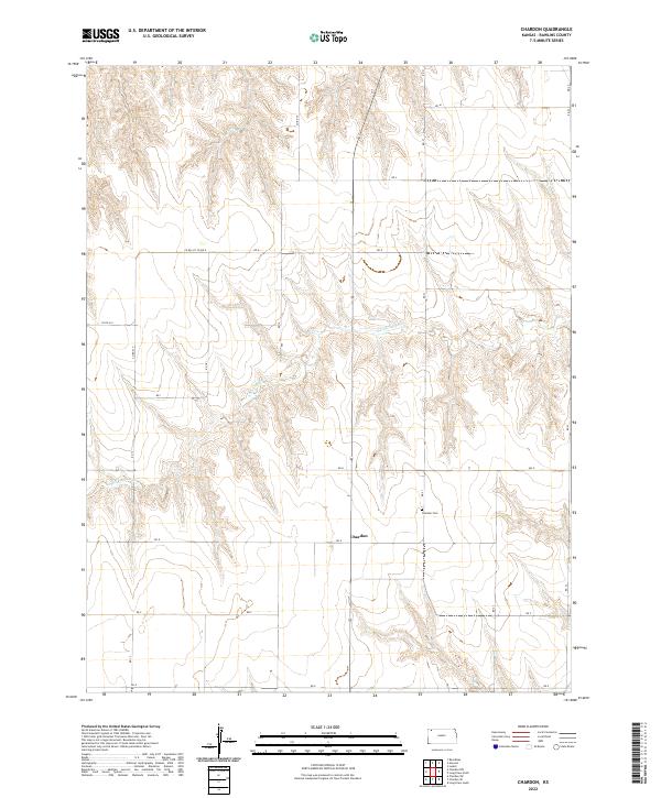
2022 Chardon
Rawlins County, KS
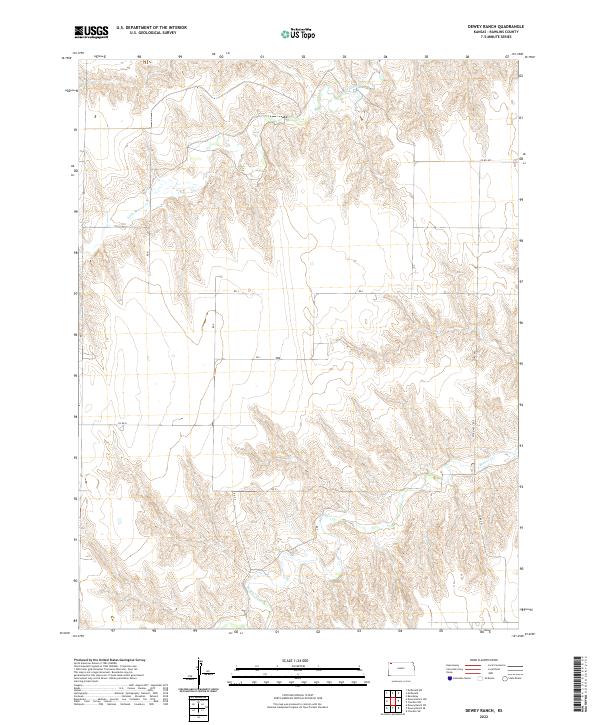
2022 Dewey Ranch
Rawlins County, KS
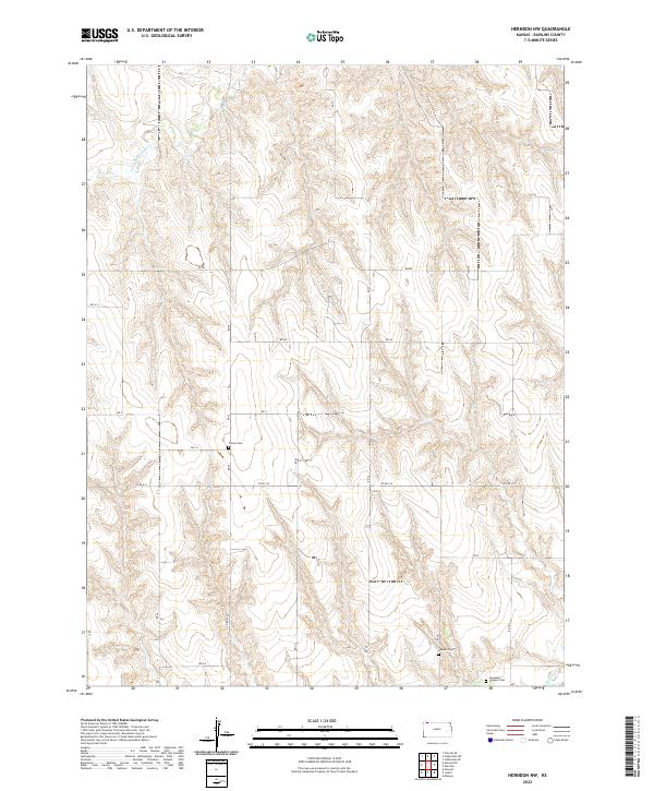
2022 Herndon NW
Rawlins County, KS
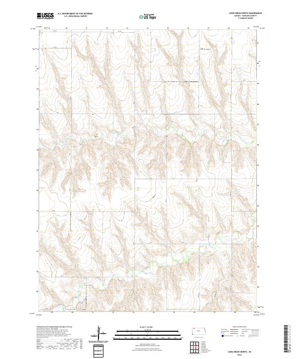
2022 Long Draw North
Rawlins County, KS
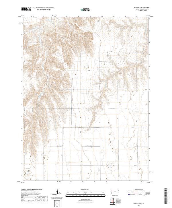
2022 McDonald NE
Rawlins County, KS
2022 Midway
Rawlins County, KS