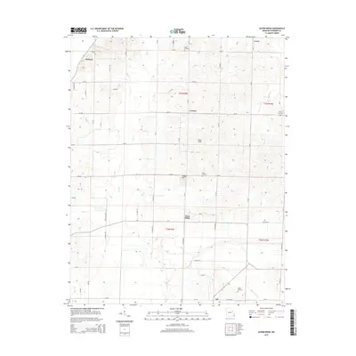
2015 Map of Acorn Ridge
USGS Topo · Published 2015About this map
Acorn Ridge and the surrounding townships of t27n r9e and t27n r10e define this pocket of Stoddard County, Missouri, characterized by a transition from upland rises to the flatter drainage basins of the Mississippi Embayment. Small, historic settlements like Hickman and Curdton anchor the local road network, while topographical landmarks such as Rock Knob and Hodge Hill break the horizon. The landscape is deeply tied to its watercourses, with Duck Cr and Flat Mingo Cr flowing through the western sections.
Find a feature on this map
55 named features on this map. Tap any name to fly to it.
Don’t see what you’re looking for? This feature index may not catch every label — zoom into the map to look around manually.
Map Details
Editions of this 2015 Acorn Ridge Map
This is the sole edition of this map. No revisions or reprints were ever made.
Other maps of this area

1934 · Bloomfield
USGS Topo · 1:62,500

1934 · Advance
USGS Topo · 1:62,500

1934 · Puxico
USGS Topo · 1:62,500

1935 · Zalma
USGS Topo · 1:62,500

1939 · Bloomfield
USGS Topo · 1:62,500

1939 · Advance
USGS Topo · 1:62,500

1939 · Puxico
USGS Topo · 1:62,500

1939 · Zalma
USGS Topo · 1:62,500

1949 · Paducah
USGS Topo · 1:250,000

1949 · Rolla
USGS Topo · 1:250,000