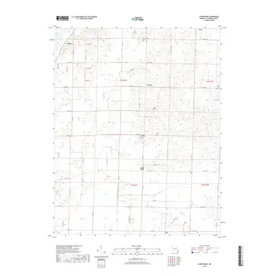
2017 Map of Acorn Ridge
USGS Topo · Published 2017About this map
Acorn Ridge stands as a focal point in this portion of Stoddard County, where the topography shifts from the low-lying reaches of Mingo Swamp and Duck Creek to the more varied elevations of Rock Knob and Hodge Hill. The landscape is a network of rural communities, including Hickman, Curdton, Leora, and Aid, connected by a grid of county roads and state highways such as State Hwy J and State Hwy PP.
Find a feature on this map
62 named features on this map. Tap any name to fly to it.
Don’t see what you’re looking for? This feature index may not catch every label — zoom into the map to look around manually.
Map Details
Editions of this 2017 Acorn Ridge Map
This is the sole edition of this map. No revisions or reprints were ever made.
Other maps of this area

1934 · Bloomfield
USGS Topo · 1:62,500

1934 · Advance
USGS Topo · 1:62,500

1934 · Puxico
USGS Topo · 1:62,500

1935 · Zalma
USGS Topo · 1:62,500

1939 · Bloomfield
USGS Topo · 1:62,500

1939 · Advance
USGS Topo · 1:62,500

1939 · Puxico
USGS Topo · 1:62,500

1939 · Zalma
USGS Topo · 1:62,500

1949 · Paducah
USGS Topo · 1:250,000

1949 · Rolla
USGS Topo · 1:250,000