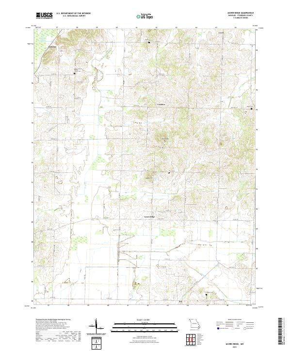
2021 Map of Acorn Ridge
USGS Topo · Published 2021About this map
Acorn Ridge and the surrounding uplands of Stoddard County define this transition between the hilly Ozark foothills and the low-lying plains of the Missouri Bootheel. The landscape is marked by a network of drainage systems including Duck Cr and Flat Mingo Cr, which feed into the wetlands of Mingo Swamp in the northwest corner. This 2021 study documents the established rural communities of Curdton, Hickman, and Leora, alongside numerous family burial grounds that anchor the local genealogy.
Find a feature on this map
61 named features on this map. Tap any name to fly to it.
Don’t see what you’re looking for? This feature index may not catch every label — zoom into the map to look around manually.
Map Details
Editions of this 2021 Acorn Ridge Map
This is the sole edition of this map. No revisions or reprints were ever made.
Other maps of this area

1934 · Bloomfield
USGS Topo · 1:62,500

1934 · Advance
USGS Topo · 1:62,500

1934 · Puxico
USGS Topo · 1:62,500

1935 · Zalma
USGS Topo · 1:62,500

1939 · Bloomfield
USGS Topo · 1:62,500

1939 · Advance
USGS Topo · 1:62,500

1939 · Puxico
USGS Topo · 1:62,500

1939 · Zalma
USGS Topo · 1:62,500

1949 · Paducah
USGS Topo · 1:250,000

1949 · Rolla
USGS Topo · 1:250,000