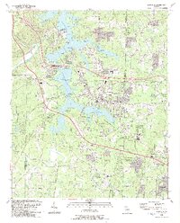
1992 Map of Acworth
USGS Topo · Published 1993About this map
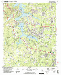
Allatoona Lake and Lake Acworth dominate the landscape of northwestern Cobb County in the early 1990s, defining a region where water recreation and suburban growth meet. The city of Acworth sits at the center of a complex network of public use areas, including the Tanyard Creek Public Use Area and Dallas Road Public Use Area. The map reveals a community deeply rooted in its local institutions, evidenced by the numerous churches and burial grounds scattered across the terrain, such as Liberty Hill Cem and Mars Hill Cem.
Find a feature on this map
69 named features on this map. Tap any name to fly to it.
Don’t see what you’re looking for? This feature index may not catch every label — zoom into the map to look around manually.
Map Details
Editions of this 1992 Acworth Map
2 editions found
Other maps of this area

1890 · Cartersville
USGS Topo · 1:125,000

1891 · Marietta
USGS Topo · 1:125,000

1891 · Cartersville
USGS Topo · 1:125,000

1895 · Marietta
USGS Topo · 1:125,000

1896 · Cartersville
USGS Topo · 1:125,000

1897 · Marietta
USGS Topo · 1:125,000

1901 · Marietta
USGS Topo · 1:125,000

1906 · Stilesboro
USGS Topo · 1:62,500

1907 · Acworth
USGS Topo · 1:62,500

1908 · Stilesboro
USGS Topo · 1:62,500