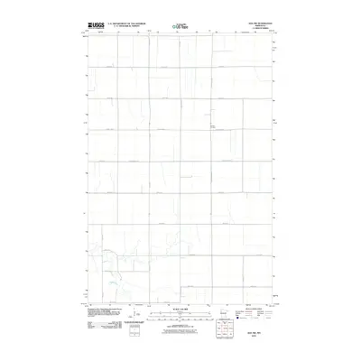
2010 Map of Ada NW
USGS Topo · Published 2010About this map
Bethany Cemetery sits at a prominent rural crossroads in this portion of Polk County, where the rigid grid of the Red River Valley defines the landscape. The Marsh River meanders through the southern portion of the quadrangle, its irregular winding course providing the only deviation from the geometric precision of the township and range survey system. This 2010 topographic representation by the U. S. Geological Survey highlights a vast agricultural expanse structured by a network of local roads including County Hwy-126 and County Hwy-115. The intersection of these routes and the placement of the cemetery suggest a historical center of local community activity within a territory primarily dedicated to large-scale farming and drainage management.
Find a feature on this map
20 named features on this map. Tap any name to fly to it.
Don’t see what you’re looking for? This feature index may not catch every label — zoom into the map to look around manually.
Map Details
Editions of this 2010 Ada NW Map
This is the sole edition of this map. No revisions or reprints were ever made.
Other maps of this area

1918 · Hendrum
USGS Topo · 1:62,500

1919 · Eldred
USGS Topo · 1:62,500

1919 · Beltrami
USGS Topo · 1:62,500

1924 · Ada
USGS Topo · 1:62,500

1952 · Grand Forks
USGS Topo · 1:250,000

1956 · Grand Forks
USGS Topo · 1:250,000

1963 · Shelly
USGS Topo · 1:24,000

1963 · Halstad
USGS Topo · 1:24,000

1964 · Beltrami
USGS Topo · 1:24,000

1964 · Beltrami SW
USGS Topo · 1:24,000