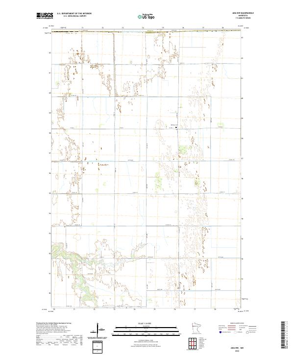
2022 Map of Ada NW
USGS Topo · Published 2022About this map
Marsh River meanders across the southern landscape of this 2022 survey, reflecting the intensive agricultural drainage typical of the Red River Valley. The terrain is defined by a dense grid of section lines and county roads, including Co Rd 115 and Co Rd 121, which facilitate the region's farming economy. A notable local landmark is the Bethany Cem near the junction of Co Rd 3 and Co Rd 126, providing a point of interest for genealogists tracing family roots in this rural township area. The presence of Judicial Ditch Number Fiftytwo and Judicial Ditch Number Fiftythree underscores the engineering efforts required to manage water across these low-lying lands along the Polk and Norman county line.
Find a feature on this map
34 named features on this map. Tap any name to fly to it.
Don’t see what you’re looking for? This feature index may not catch every label — zoom into the map to look around manually.
Map Details
Editions of this 2022 Ada NW Map
This is the sole edition of this map. No revisions or reprints were ever made.
Other maps of this area

1918 · Hendrum
USGS Topo · 1:62,500

1919 · Eldred
USGS Topo · 1:62,500

1919 · Beltrami
USGS Topo · 1:62,500

1924 · Ada
USGS Topo · 1:62,500

1952 · Grand Forks
USGS Topo · 1:250,000

1956 · Grand Forks
USGS Topo · 1:250,000

1963 · Shelly
USGS Topo · 1:24,000

1963 · Halstad
USGS Topo · 1:24,000

1964 · Beltrami
USGS Topo · 1:24,000

1964 · Beltrami SW
USGS Topo · 1:24,000