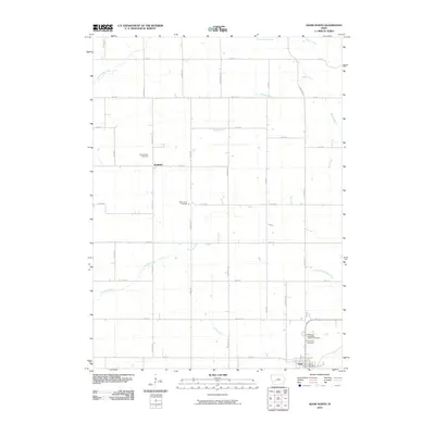
2010 Map of Adair North
USGS Topo · Published 2010About this map
Adair sits at the southern edge of this West-Central Iowa landscape, where the grain-farming economy is defined by a grid of rural roads and the drainage patterns of the Middle River and its numerous tributaries. The territory shows a classic Midwestern township structure, punctuated by the small settlement of Kenfield and a series of rural burying grounds that anchor the local history. For genealogists, the map identifies several distinct sites including Pleasant Hill Cemetery, Saint Johns Cemetery, and both the Immanuel Cemetery and the Immanuel Evangelical Lutheran Cemetery near the town center.
Find a feature on this map
34 named features on this map. Tap any name to fly to it.
Don’t see what you’re looking for? This feature index may not catch every label — zoom into the map to look around manually.
Map Details
Editions of this 2010 Adair North Map
This is the sole edition of this map. No revisions or reprints were ever made.
Other maps of this area

1954 · Omaha
USGS Topo · 1:250,000

1957 · Omaha
USGS Topo · 1:250,000

1957 · Audubon
USGS Topo · 1:62,500

1958 · Omaha
USGS Topo · 1:250,000

1971 · Adair South
USGS Topo · 1:24,000

1971 · Anita
USGS Topo · 1:24,000

1971 · Canby
USGS Topo · 1:24,000

1971 · North Branch
USGS Topo · 1:24,000

1971 · Casey
USGS Topo · 1:24,000

1971 · Guthrie Center West
USGS Topo · 1:24,000