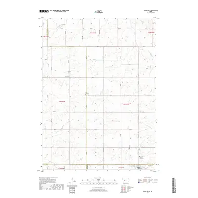
2018 Map of Adair North
USGS Topo · Published 2018About this map
The agrarian landscape along the Middle River and S Fork Middle River is defined by a dense grid of rural roads and scattered historical landmarks across four Iowa counties. The southern edge of the survey captures the outskirts of Adair, while the community of Kenfield sits centrally amidst a network of avenues including Thrush Ave and Union Ave. Genealogists will find significant value in the documentation of local burial grounds, such as Pleasant Hill Cem and Saint Johns Cem. The map also meticulously notes the Immanuel Evangelical Lutheran Cem and a separate Immanuel Cem, providing precise locations for these heritage sites. Numerous creeks, including Troublesome Cr, Crooked Cr, and Turkey Cr, carve through the sections, illustrating the drainage patterns that have shaped local farming for generations.
Find a feature on this map
52 named features on this map. Tap any name to fly to it.
Don’t see what you’re looking for? This feature index may not catch every label — zoom into the map to look around manually.
Map Details
Editions of this 2018 Adair North Map
This is the sole edition of this map. No revisions or reprints were ever made.
Other maps of this area

1954 · Omaha
USGS Topo · 1:250,000

1957 · Omaha
USGS Topo · 1:250,000

1957 · Audubon
USGS Topo · 1:62,500

1958 · Omaha
USGS Topo · 1:250,000

1971 · Adair South
USGS Topo · 1:24,000

1971 · Anita
USGS Topo · 1:24,000

1971 · Canby
USGS Topo · 1:24,000

1971 · North Branch
USGS Topo · 1:24,000

1971 · Casey
USGS Topo · 1:24,000

1971 · Guthrie Center West
USGS Topo · 1:24,000