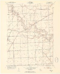
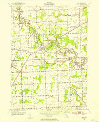
1952 Map of Adair
USGS Topo · Published 1954About this map
Belle River meanders across this rural landscape, carving a valley through the eastern Michigan townships of Columbus and Casco. The 1952 culture revision reveals a countryside defined by small agricultural settlements and a dense network of country schools, such as Pink Sch and Bunker Sch. The road system is particularly notable, featuring the three-lane stretch of Gratiot Ave and the transition between Macomb Co and St Clair Co. A distinct shift in rural life is visible through the notation of inactive facilities like Hunt Sch (Aban'd) and Claggett Sch (Aban'd), while small community centers like Snyderville and Adair remain active. Local history is anchored by family-named landmarks and resting places including Columbus Cem and Kittridge Cem.
Find a feature on this map
67 named features on this map. Tap any name to fly to it.
Don’t see what you’re looking for? This feature index may not catch every label — zoom into the map to look around manually.
Map Details
Editions of this 1952 Adair Map
2 editions found
Other maps of this area

1912 · Mt Clemens
USGS Topo · 1:62,500

1914 · Armada
USGS Topo · 1:62,500

1914 · Algonac
USGS Topo · 1:62,500

1928 · Armada
USGS Topo · 1:62,500

1928 · Hicky
USGS Topo · 1:62,500

1929 · Mt Clemens
USGS Topo · 1:62,500

1936 · New Haven
USGS Topo · 1:31,680

1936 · Rattle Run
USGS Topo · 1:31,680

1936 · New Baltimore
USGS Topo · 1:31,680

1939 · New Baltimore
USGS Topo · 1:24,000