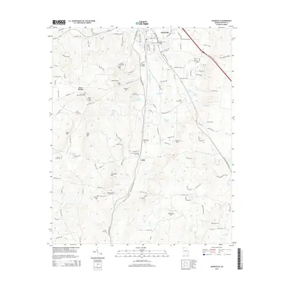
2014 Map of Adairsville
USGS Topo · Published 2014About this map
Adairsville serves as the primary hub in this Bartow County landscape, where the CSX rail line parallels the historic Old Ga-41 corridor. The area is defined by a series of prominent elevations, including Snow Springs Mtn, Wolf Cave Mtn, and Henderson Mtn, which create a complex drainage system feeding into Oothkalooga Cr and Connesena Cr. This topography influenced the placement of numerous family-held lands and burial grounds, such as the Barnsley Family Cem and the B F Shaw Family Cem.
Find a feature on this map
133 named features on this map. Tap any name to fly to it.
Don’t see what you’re looking for? This feature index may not catch every label — zoom into the map to look around manually.
Map Details
Editions of this 2014 Adairsville Map
This is the sole edition of this map. No revisions or reprints were ever made.
Other maps of this area

1886 · Rome
USGS Topo · 1:125,000

1890 · Cartersville
USGS Topo · 1:125,000

1891 · Cartersville
USGS Topo · 1:125,000

1896 · Cartersville
USGS Topo · 1:125,000

1898 · Rome
USGS Topo · 1:125,000

1899 · Rome
USGS Topo · 1:125,000

1904 · Rome
USGS Topo · 1:125,000

1906 · Stilesboro
USGS Topo · 1:62,500

1908 · Stilesboro
USGS Topo · 1:62,500

1941 · Adairsville
USGS Topo · 1:62,500