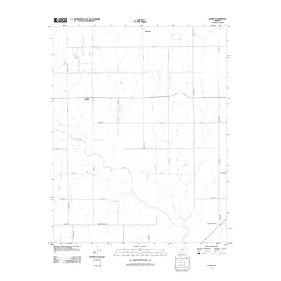
2012 Map of Adams
USGS Topo · Published 2012About this map
The Chikaskia River meanders across this rural section of Kingman County, shaping the agricultural landscape of south-central Kansas. The small community of Adams sits at a grid-road junction in the western half of the map, while the settlement of Orsemus is positioned further north, near the banks of Sand Cr. This 2012 survey illustrates the enduring township-and-range road system, with a dense network of numbered avenues and streets like SE 140 St and SE 90 Ave providing access to the vast farmsteads between the waterways. Several drainage systems converge toward the river, including Big Spring Cr, Clearwater Cr, and Duck Cr, which define the local topography and historical property lines in this plains environment.
Find a feature on this map
27 named features on this map. Tap any name to fly to it.
Don’t see what you’re looking for? This feature index may not catch every label — zoom into the map to look around manually.
Map Details
Editions of this 2012 Adams Map
This is the sole edition of this map. No revisions or reprints were ever made.
Other maps of this area

1889 · Anthony
USGS Topo · 1:125,000

1889 · Cheney
USGS Topo · 1:125,000

1889 · Caldwell
USGS Topo · 1:125,000

1891 · Cheney
USGS Topo · 1:125,000

1891 · Anthony
USGS Topo · 1:125,000

1892 · Kingman
USGS Topo · 1:125,000

1893 · Caldwell
USGS Topo · 1:125,000

1894 · Kingman
USGS Topo · 1:125,000

1897 · Caldwell
USGS Topo · 1:125,000

1901 · Cheney
USGS Topo · 1:125,000