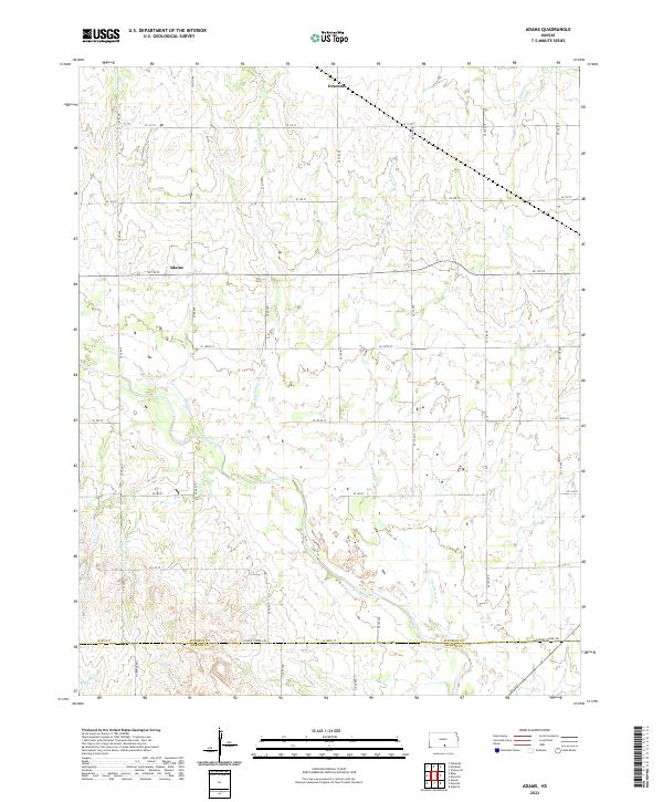
2022 Map of Adams
USGS Topo · Published 2022About this map
Adams and Orsemus define the rural character of this landscape in southern Kansas, situated along the undulating drainages of the Clearwater Cr watershed. The area is defined by a strict section-line road grid, including Se 130 ST and Se 180th ST, which serves the agricultural land across several townships. Waterways like Big Spring Cr and Duck Cr cut through the terrain, creating natural breaks in the geometric regularity of the surveyed plots. Along the southern boundary, Kingman Co Harper Co marks the administrative transition, with Conway Springs Rd providing a primary east-west corridor for local transport. This 2022 edition documents the enduring agricultural patterns and hydrology of the region, from Sand Cr in the northeast to the headwaters of Spring Cr in the southwest.
Find a feature on this map
25 named features on this map. Tap any name to fly to it.
Don’t see what you’re looking for? This feature index may not catch every label — zoom into the map to look around manually.
Map Details
Editions of this 2022 Adams Map
This is the sole edition of this map. No revisions or reprints were ever made.
Other maps of this area

1889 · Anthony
USGS Topo · 1:125,000

1889 · Cheney
USGS Topo · 1:125,000

1889 · Caldwell
USGS Topo · 1:125,000

1891 · Cheney
USGS Topo · 1:125,000

1891 · Anthony
USGS Topo · 1:125,000

1892 · Kingman
USGS Topo · 1:125,000

1893 · Caldwell
USGS Topo · 1:125,000

1894 · Kingman
USGS Topo · 1:125,000

1897 · Caldwell
USGS Topo · 1:125,000

1901 · Cheney
USGS Topo · 1:125,000