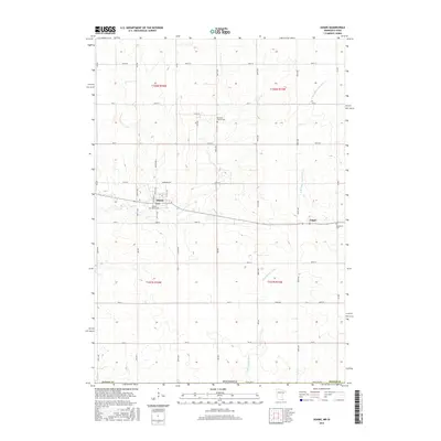
2016 Map of Adams
USGS Topo · Published 2016About this map
Adams and Taopi anchor this 2016 survey of southern Mower County, where the agricultural grid meets the headwaters of two significant regional drainages. The Wapsipinicon River and the N Br Upper Iowa River both originate in these prairie uplands, carved into the landscape near the Iowa border. For local history researchers, several burial grounds are preserved across the townships, including Sacred Heart Cem and Marshall Church Cem north of the primary settlements, and Woodlawn Cem located just east of Taopi. The map shows the established street grids of the towns, featuring landmarks such as Krebsbach St and Carr St, which intersect with the broader rural infrastructure of named avenues and township roads that have defined the region's movement and land division for generations.
Find a feature on this map
49 named features on this map. Tap any name to fly to it.
Don’t see what you’re looking for? This feature index may not catch every label — zoom into the map to look around manually.
Map Details
Editions of this 2016 Adams Map
This is the sole edition of this map. No revisions or reprints were ever made.
Other maps of this area

1954 · Austin
USGS Topo · 1:62,500

1954 · Mason City
USGS Topo · 1:250,000

1957 · Mason City
USGS Topo · 1:250,000

1958 · Mason City
USGS Topo · 1:250,000

1965 · Le Roy
USGS Topo · 1:24,000

1965 · Dexter
USGS Topo · 1:24,000

1965 · Grand Meadow
USGS Topo · 1:24,000

1965 · Adams
USGS Topo · 1:24,000

1972 · Mc Intire
USGS Topo · 1:24,000

1972 · Little Cedar
USGS Topo · 1:24,000