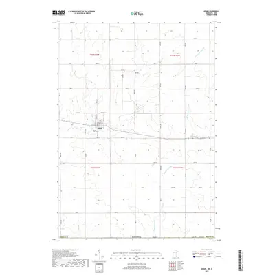
2019 Map of Adams
USGS Topo · Published 2019About this map
Adams serves as the primary hub of this Mower County landscape, situated near the headwaters of two significant regional waterways. The Wapsipinicon River and the N Br Upper Iowa River both originate in this fertile agricultural terrain, their courses shaped by the slight elevations of the surrounding prairie. This area is defined by a rigorous section-line road grid, including State Line Rd marking the boundary between Minnesota and Iowa. Local history is anchored by the presence of Taopi to the east and several established burial grounds that reflect the area's pioneer heritage. Genealogists may find interest in the locations of Sacred Heart Cem, Marshall Church Cem, and Woodlawn Cem, which are positioned near the early settlement centers and rural crossroads of the township.
Find a feature on this map
32 named features on this map. Tap any name to fly to it.
Don’t see what you’re looking for? This feature index may not catch every label — zoom into the map to look around manually.
Map Details
Editions of this 2019 Adams Map
This is the sole edition of this map. No revisions or reprints were ever made.
Other maps of this area

1954 · Austin
USGS Topo · 1:62,500

1954 · Mason City
USGS Topo · 1:250,000

1957 · Mason City
USGS Topo · 1:250,000

1958 · Mason City
USGS Topo · 1:250,000

1965 · Le Roy
USGS Topo · 1:24,000

1965 · Dexter
USGS Topo · 1:24,000

1965 · Grand Meadow
USGS Topo · 1:24,000

1965 · Adams
USGS Topo · 1:24,000

1972 · Mc Intire
USGS Topo · 1:24,000

1972 · Little Cedar
USGS Topo · 1:24,000