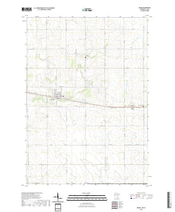
2022 Map of Adams
USGS Topo · Published 2022About this map
Adams and Taopi serve as the primary focal points of this southern Mower County landscape, situated just north of the Iowa border. The terrain is defined by the headwaters of two significant regional waterways: the Wapsipinicon River and the N Br Upper Iowa River. The map captures a well-defined grid of section lines and rural roads, such as 160th ST and 120th Ave, that organize the agricultural space. Cultural and genealogical markers are frequent, including Sacred Heart Cem near the center of Adams and Marshall Church Cem to the northeast. A notable modern conversion of historical transit is seen in the Shooting Star State Trl, which follows the path of a former rail corridor through both settlements. This survey reflects the enduring structure of these small farming communities and their continued connection to the prairie landscape and the underlying township and range system.
Find a feature on this map
34 named features on this map. Tap any name to fly to it.
Don’t see what you’re looking for? This feature index may not catch every label — zoom into the map to look around manually.
Map Details
Editions of this 2022 Adams Map
This is the sole edition of this map. No revisions or reprints were ever made.
Other maps of this area

1954 · Austin
USGS Topo · 1:62,500

1954 · Mason City
USGS Topo · 1:250,000

1957 · Mason City
USGS Topo · 1:250,000

1958 · Mason City
USGS Topo · 1:250,000

1965 · Le Roy
USGS Topo · 1:24,000

1965 · Dexter
USGS Topo · 1:24,000

1965 · Grand Meadow
USGS Topo · 1:24,000

1965 · Adams
USGS Topo · 1:24,000

1972 · Mc Intire
USGS Topo · 1:24,000

1972 · Little Cedar
USGS Topo · 1:24,000