
Loading...
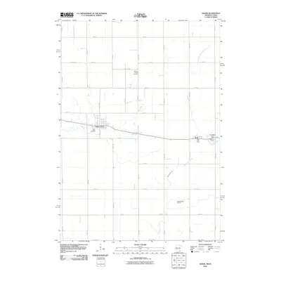
Loading map...1965 Map of Adams
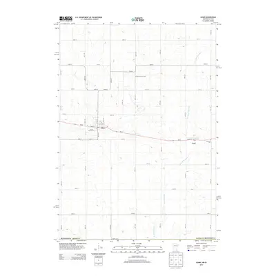
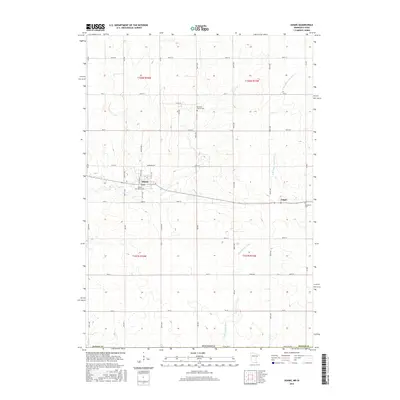
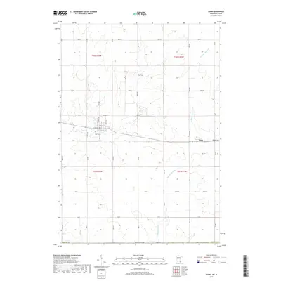
USGS Topo · Published 1978About this map
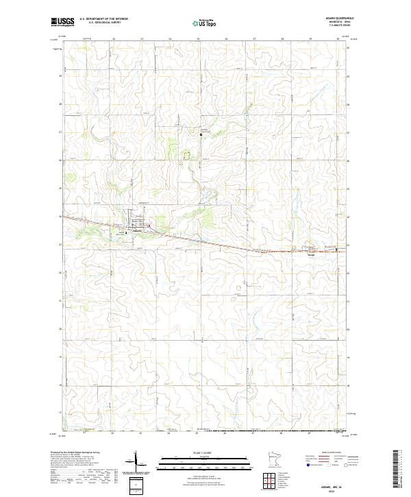
The village of Adams serves as the primary hub of this Mower County landscape, where the Chicago Milwaukee St Paul And Pacific railroad forms a straight eastward line toward Taopi. This mid-century survey reveals a highly organized agricultural and industrial grid, punctuated by numerous Gravel Pits and essential community infrastructure like the Sewage Disposal plant and a local Substation.
Find a feature on this map
23 named features on this map. Tap any name to fly to it.
Don’t see what you’re looking for? This feature index may not catch every label — zoom into the map to look around manually.
Map Details
Date Portrayed1965
Date Published1978
PublisherU.S. Geological Survey
Map TypeTopographic
Scale1:24,000
Physical Dimensions21.53 x 27.23 inches
Editions of this 1965 Adams Map
2 editions found

Historical Maps of Adams Through Time
6 maps found
Featured Locations
Source Details
SourceU.S. Geological Survey
CopyrightPublic Domain