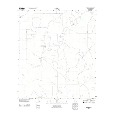
2012 Map of Adams SW
USGS Topo · Published 2012About this map
Page Oil and Gas Field sits at the heart of this Schleicher County landscape, illustrating the industrial footprint on the West Texas ranching country during the early 21st century. The terrain is defined by the ephemeral drainage of N Valley Prong and its various tributaries, which carve through the land alongside features like Live Oak Hollow and Lake Hollow. Large-scale landholdings are a primary characteristic of the area, with several named family operations such as Koy Ranch, Henderson Ranch, and McBurnett Ranch established across the quadrant. The presence of Twentymile Waterhole indicates the critical importance of water management in this arid environment, while a network of county roads, including Co RD-224, provides the necessary infrastructure for both the energy and livestock sectors.
Find a feature on this map
13 named features on this map. Tap any name to fly to it.
Don’t see what you’re looking for? This feature index may not catch every label — zoom into the map to look around manually.
Map Details
Editions of this 2012 Adams SW Map
This is the sole edition of this map. No revisions or reprints were ever made.
Other maps of this area

1893 · Fort McKavett
USGS Topo · 1:125,000

1954 · Sonora
USGS Topo · 1:250,000

1958 · Sonora
USGS Topo · 1:250,000

1963 · Buffalo Well
USGS Topo · 1:24,000

1963 · Buffalo Well NW
USGS Topo · 1:24,000

1963 · Adams
USGS Topo · 1:24,000

1963 · Adams NW
USGS Topo · 1:24,000

1963 · Adams SE
USGS Topo · 1:24,000

1963 · Adams SW
USGS Topo · 1:24,000

1964 · Sonora NE
USGS Topo · 1:24,000