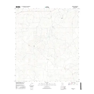
2016 Map of Adams SW
USGS Topo · Published 2016About this map
Twentymile Waterhole sits at the heart of this landscape in Schleicher County, a vital point for water management in an area defined by its drainage systems. The terrain is marked by significant geographic depressions and valleys, including Live Oak Hollow and Lake Hollow in the north and the broader North Valley further south. These features are primarily drained by the N Valley Prong, which snakes through the central portion of the quadrangle. The sparse road network, consisting of routes like Co Rd 220 and Co Rd 224, reflects the rural and ranching-oriented character of the Edwards Plateau. The spatial arrangement of named waterholes and hollows provides clear evidence of how natural topography dictates land use and accessibility in this part of West Texas.
Find a feature on this map
9 named features on this map. Tap any name to fly to it.
Don’t see what you’re looking for? This feature index may not catch every label — zoom into the map to look around manually.
Map Details
Editions of this 2016 Adams SW Map
This is the sole edition of this map. No revisions or reprints were ever made.
Other maps of this area

1893 · Fort McKavett
USGS Topo · 1:125,000

1954 · Sonora
USGS Topo · 1:250,000

1958 · Sonora
USGS Topo · 1:250,000

1963 · Buffalo Well
USGS Topo · 1:24,000

1963 · Buffalo Well NW
USGS Topo · 1:24,000

1963 · Adams
USGS Topo · 1:24,000

1963 · Adams NW
USGS Topo · 1:24,000

1963 · Adams SE
USGS Topo · 1:24,000

1963 · Adams SW
USGS Topo · 1:24,000

1964 · Sonora NE
USGS Topo · 1:24,000