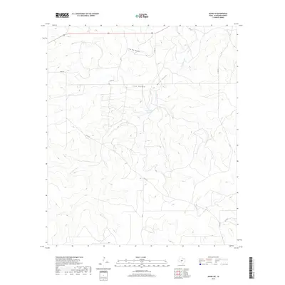
2019 Map of Adams SW
USGS Topo · Published 2019About this map
Twentymile Waterhole sits at the heart of this Schleicher County landscape, marking a vital water source in an area defined by deep drainage basins and limestone plateaus. The terrain is characterized by the convergence of several major topographic features, including the winding course of N Valley Prong and the broad depressions of North Valley, Live Oak Hollow, and Lake Hollow. These natural landmarks provide essential orientation in a region where human development is primarily limited to a grid of rural ranch roads, such as Co Rd 220 and Co Rd 224. The map illustrates the persistent importance of local water features and named hollows for land management and navigation across the Edwards Plateau in the early twenty-first century.
Find a feature on this map
9 named features on this map. Tap any name to fly to it.
Don’t see what you’re looking for? This feature index may not catch every label — zoom into the map to look around manually.
Map Details
Editions of this 2019 Adams SW Map
This is the sole edition of this map. No revisions or reprints were ever made.
Other maps of this area

1893 · Fort McKavett
USGS Topo · 1:125,000

1954 · Sonora
USGS Topo · 1:250,000

1958 · Sonora
USGS Topo · 1:250,000

1963 · Buffalo Well
USGS Topo · 1:24,000

1963 · Buffalo Well NW
USGS Topo · 1:24,000

1963 · Adams
USGS Topo · 1:24,000

1963 · Adams NW
USGS Topo · 1:24,000

1963 · Adams SE
USGS Topo · 1:24,000

1963 · Adams SW
USGS Topo · 1:24,000

1964 · Sonora NE
USGS Topo · 1:24,000