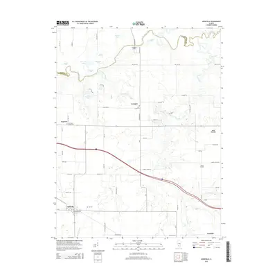
2015 Map of Addieville
USGS Topo · Published 2015About this map
The Kaskaskia River snakes across the northern border of this Illinois landscape, creating a complex network of oxbow lakes and wetlands including Turkey Lake, Big Flat Lake, and Horseshoe Lake. This drainage system defines the agricultural boundaries and road layouts of the surrounding region. The village of Addieville serves as a primary settlement in the southwest, while smaller hamlets like Covington and New Minden are scattered throughout the interior, often centered around local landmarks such as Covington Bridge.
Find a feature on this map
70 named features on this map. Tap any name to fly to it.
Don’t see what you’re looking for? This feature index may not catch every label — zoom into the map to look around manually.
Map Details
Editions of this 2015 Addieville Map
This is the sole edition of this map. No revisions or reprints were ever made.
Other maps of this area

1906 · Breese
USGS Topo · 1:62,500

1907 · Breese
USGS Topo · 1:62,500

1910 · Carlyle
USGS Topo · 1:62,500

1910 · Okawville
USGS Topo · 1:62,500

1931 · Hoyleton
USGS Topo · 1:48,000

1932 · Nashville
USGS Topo · 1:62,500

1936 · Nashville
USGS Topo · 1:62,500

1940 · Okawville
USGS Topo · 1:62,500

1948 · Carlyle
USGS Topo · 1:62,500

1958 · Belleville
USGS Topo · 1:250,000