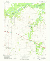
1974 Map of Addieville
USGS Topo · Published 1978About this map
Addieville and the surrounding prairie of southern Illinois appear in this mid-1970s topographical record. The landscape is defined by the winding course of the Kaskaskia River and Little Crooked Creek, which feed a series of oxbow lakes and wetlands including Big Flat Lake, Horseshoe Lake, and Wildcat Lake. Settlement patterns follow the higher ground between these floodplains, anchored by the Louisville and Nashville railroad line passing through the town of Addieville.
Find a feature on this map
38 named features on this map. Tap any name to fly to it.
Don’t see what you’re looking for? This feature index may not catch every label — zoom into the map to look around manually.
Map Details
Editions of this 1974 Addieville Map
This is the sole edition of this map. No revisions or reprints were ever made.
Other maps of this area

1906 · Breese
USGS Topo · 1:62,500

1907 · Breese
USGS Topo · 1:62,500

1910 · Carlyle
USGS Topo · 1:62,500

1910 · Okawville
USGS Topo · 1:62,500

1931 · Hoyleton
USGS Topo · 1:48,000

1932 · Nashville
USGS Topo · 1:62,500

1936 · Nashville
USGS Topo · 1:62,500

1940 · Okawville
USGS Topo · 1:62,500

1948 · Carlyle
USGS Topo · 1:62,500

1958 · Belleville
USGS Topo · 1:250,000