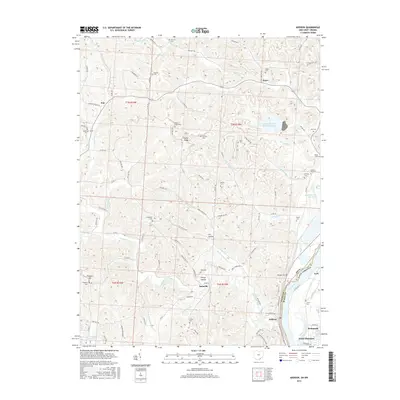
2016 Map of Addison
USGS Topo · Published 2016About this map
The Ohio River corridor north of Point Pleasant serves as the focal point for this 2016 survey, where the river serves as the boundary between Gallia County, Ohio, and Mason County, West Virginia. The landscape is defined by the heavy industrial footprints of the Gavin Fly Ash Impoundment and the Gavin Bottom Ash Pond, which sit adjacent to the riverbank. These massive utility structures contrast sharply with the surrounding dissected hills where small communities like Bulaville, Addison, and Kyger persist. Inland, the terrain is characterized by a dense network of hollows and ridges, including Honey Hollow and Oil Hollow. Genealogists will find a significant concentration of burial sites throughout the uplands, such as Prospect Cem, Halfhill Cem, and Rife Cem, many situated on family land or near old crossroads like Poplar Ridge. The map captures the modern balance between small-scale Appalachian settlements and large-scale industrial river operations.
Find a feature on this map
109 named features on this map. Tap any name to fly to it.
Don’t see what you’re looking for? This feature index may not catch every label — zoom into the map to look around manually.
Map Details
Editions of this 2016 Addison Map
This is the sole edition of this map. No revisions or reprints were ever made.
Other maps of this area

1905 · Wilkesville
USGS Topo · 1:62,500

1906 · Bidwell
USGS Topo · 1:62,500

1907 · Pomeroy
USGS Topo · 1:62,500

1908 · Bidwell
USGS Topo · 1:62,500

1908 · Point Pleasant
USGS Topo · 1:62,500

1908 · Wilkesville
USGS Topo · 1:62,500

1926 · Point Pleasant
USGS Topo · 1:62,500

1929 · Point Pleasant
USGS Topo · 1:62,500

1947 · Columbus
USGS Topo · 1:250,000

1957 · Beech Hill
USGS Topo · 1:24,000