
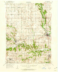
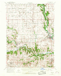
1949 Map of Adel
USGS Topo · Published 1955About this map
The North Raccoon River and its various branches dominate this post-war landscape in Dallas County, where the convergence of the Middle Raccoon River and South Raccoon River occurs near Redfield. The area reflects a classic mid-century Midwestern agricultural grid, dotted with numbered one-room schoolhouses like School No 5 and School No 8. The Chicago Milwaukee St Paul and Pacific railroad serves as the primary industrial artery, connecting the established town of Adel with smaller hamlets like Kennedy and Panther. Local genealogy is well-represented through numerous rural burying grounds, including Wiscotta Cem and the Jenkins Cem, while the presence of the Friends Ch and Brethren Ch suggests the distinct religious heritage of the early settlers. Small-scale industry is evident in the Gravel Pits found along the riverbanks, supporting the region's infrastructure.
Find a feature on this map
68 named features on this map. Tap any name to fly to it.
Don’t see what you’re looking for? This feature index may not catch every label — zoom into the map to look around manually.
Map Details
Editions of this 1949 Adel Map
Other maps of this area

1908 · Waukee
USGS Topo · 1:62,500

1911 · Madrid
USGS Topo · 1:62,500

1914 · Madrid
USGS Topo · 1:62,500

1950 · Perry
USGS Topo · 1:62,500

1951 · Perry
USGS Topo · 1:62,500

1951 · Adel
USGS Topo · 1:62,500

1951 · St. Charles
USGS Topo · 1:62,500

1952 · Panora
USGS Topo · 1:62,500

1952 · Winterset
USGS Topo · 1:62,500

1954 · Bagley
USGS Topo · 1:62,500