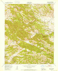
1948 Map of Adelaida
USGS Topo · Published 1952About this map
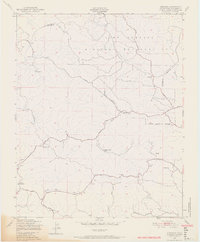
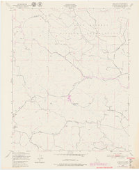
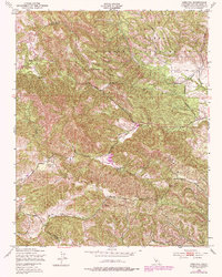
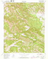
The Adelaida settlement and its surrounding cattle country define this late 1940s landscape in the Santa Lucia Range foothills. Much of the northern terrain is occupied by the Camp Roberts Military Reservation, shown here just a few years after its heavy use during the war. Local life centers on the drainage of Las Tablas Creek and Snake Creek, where family-held lands like White Ranch and Chimney Rock Ranch are mapped in detail. The presence of the Lincoln Sch and the Adelaida Cem near the town center provides a clear view of the community's established social infrastructure before the mid-century period. Roads such as the Paso Robles Road and San Miguel Road serve as the primary conduits through the winding canyons, connecting these rural outposts to the larger hubs of San Luis Obispo County.
Find a feature on this map
16 named features on this map. Tap any name to fly to it.
Don’t see what you’re looking for? This feature index may not catch every label — zoom into the map to look around manually.
Map Details
Editions of this 1948 Adelaida Map
8 editions found
Other maps of this area

1919 · San Miguel
USGS Topo · 1:62,500

1919 · Paso Robles
USGS Topo · 1:62,500

1919 · Bradley
USGS Topo · 1:62,500

1919 · Adelaida
USGS Topo · 1:62,500

1932 · Adelaida
USGS Topo · 1:62,500

1941 · Bradley
USGS Topo · 1:62,500

1942 · Adelaida
USGS Topo · 1:62,500

1943 · Paso Robles
USGS Topo · 1:62,500

1947 · San Luis Obispo
USGS Topo · 1:250,000

1947 · San Miguel
USGS Topo · 1:62,500